


Click Image to Enlarge
Arkansas Counties
The first of the Arkansas' seventy-five present-day counties created, Arkansas County was formed on 13 December 1813, when this area was part of the Missouri Territory.Monroe County, Arkansas
Monroe County Education, Geography, and History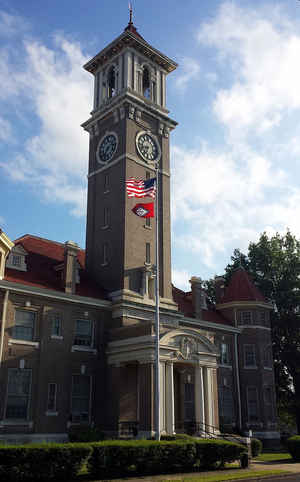
Monroe County is a county located in the state of Arkansas. Based on the 2010 census, the population was 8,149, making it the fifth-least populous county in Arkansas. The county seat is Clarendon, while its largest city is Brinkley. Monroe County is Arkansas's 20th county, formed on November 2, 1829, from portions of Arkansas and Phillips counties. Monroe county is named for James Monroe, the fifth President of the United States.
Etymology - Origin of Monroe County Name
Monroe county is named for James Monroe, the fifth president of the United States. James Lawrence Monroe (April 28, 1758 - July 4, 1831) was the fifth President of the United States (1817-1825). His administration was marked by the acquisition of Florida (1819); the Missouri Compromise (1820), in which Missouri was declared a slave state; the admission of Maine in 1820 as a free state; and the profession of the Monroe Doctrine (1823), declaring US opposition to European interference in the Americas, as well as breaking all ties with France remaining from the War of 1812.
Demographics:
County QuickFacts: CensusBureau Quick Facts
Monroe County History
Monroe county was formed on November 2, 1829, by the Territorial Legislature from portions of Arkansas and Phillips counties and named for James Monroe, fifth President of the United States and author of the "Monroe Doctrine." Clarendon is the County Seat. The economy is agriculture, soybeans, cotton, rice and wheat with some small manufacturing. Interstate 40 passes through the county. Lake Greenlee, a rectangular lake enclosed by a four-sided levee, Green and East lakes, backwater lakes, and Maddox Bay offer excellent fishing. The Cache River runs through the county with Dagmar Wildlife Management Area providing hunting for several species. In the southwestern part of the county, the scenic White River runs through the White River National Wildlife Management Area and provides great boating and fishing and is home to virtually every wild bird and animal found in the southern United States. Clarendon, known until 1837 as Mouth-of-the-Cache or White River Crossing, has 22 structures listed in the National Historical Register. The town square has been used several times as a movie set. The Courthouse, which holds lots of early history dating back to 1829, was a sanctuary for hundreds of persons who sought refuge in the upper floors while awaiting rescue by boats. After the flood, church services and community activities were held in the courthouse while community flood damage was repaired. In spite of the flood, the original oak furniture remains in the elegant courtroom that has a dome skylight of richly colored stained glass.
Geography: Land and Water
As reported by the Census Bureau, the county has a total area of 621 square miles (1,610 km2), of which 607 square miles (1,570 km2) is land and 14 square miles (36 km2) (2.3%) is water.
The landscape is rich, flat, delta farmland.
Neighboring Counties
Bordering counties are as follows:
- North: Woodruff County
- Northeast: St. Francis County; Lee County
- Southeast: Phillips County
- Southwest: Arkansas County
- Northwest: Prairie County
Education


Click Image to Enlarge
