

Click Image to Enlarge
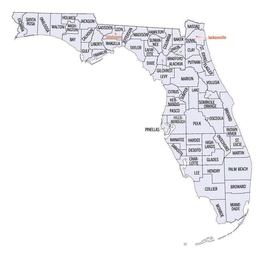
Florida Counties
There are sixty-seven counties in the state of Florida. In 1821, there were only two Counties in Florida: Escambia to the west and St. Johns to the east. From these two Counties were formed 67 today. Its last county was created in 1925 with the formation of Gilchrist County from a segment of Alachua County.Calhoun County, Florida
Calhoun County Education, Geography, and History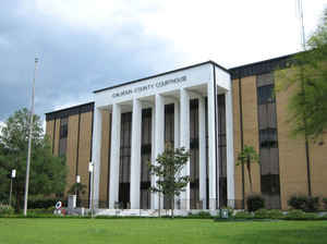
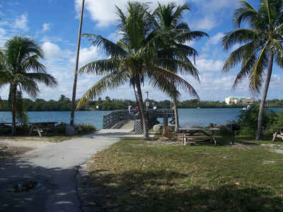
Calhoun County is a county located in the state of Florida. Based on the 2010 census, the population was 14,625, making it the fifth-least populous county in Florida. Calhoun County was created on January 26, 1838 from Franklin County, Jackson County and Washington County. The county seat is Blountstown. This county is named for John C. Calhoun (1782-1850) leading Southern politician from South Carolina.
Etymology - Origin of Calhoun County Name
Calhoun County was named for John C. Calhoun, member of the United States Senate from South Carolina and the seventh US vice president, serving under John Quincy Adams and Andrew Jackson.
Demographics:
County QuickFacts: CensusBureau Quick Facts
Calhoun County History
Calhoun County was created in 1838. The county
is named for John C. Calhoun, member of the United States Senate from
South Carolina. As is universal in the Florida Panhandle, a majority of Calhoun County's residents remain much more
attached to Southern culture and lifestyle habits than is common in the Central and Southern regions of the state
influenced by large amounts of migration, and the area holds much more in common with states such as Alabama,
Georgia, or Mississippi than with much of Florida.
Calhoun County was created in 1838 and named for the South Carolina United States Senator, John C. Calhoun. The county was created in order to establish St. Joseph as a commercial competitor to Apalachicola. St. Joseph flourished for only a few years. During this time the city served as the county seat for Calhoun County. St. Joseph grew rapidly as a seaport. A railroad was constructed from St. Joseph to lola on the west bank of the Apalachicola River. Thousands of bales of cotton were diverted from the seaport of Apalachicola over the railroad to St. Joseph to be shipped to England. The first constitution for the territory of Florida was written and adopted in the city of St. Joseph. Yellow fever and hurricanes wiped out St. Joseph.
More at
History of Calhoun County
By Mr. George Atkins
Geography: Land and Water
As reported by the Census Bureau, the Calhoun County has a total area of 574 square miles (1,488 km2), of which, 567 square miles (1,469 km2) of it is land and 7 square miles (18 km2) of it (1.22%) is water.
Calhoun county is located in northwest Florida. The county is
bounded on the east by the Apalachicola River and is divided by the Chipola River, site of Look and Tremble.
Look and Tremble is a shoal or rapids and swimming hole on the
Chipola River.
Neighboring Counties
Bordering counties are as follows:
- North: Jackson County
- Northeast: Gadsden County
- Southeast: Liberty County
- South: Gulf County
- Southwest: Bay County
Education


Click Image to Enlarge
