

Click Image to Enlarge
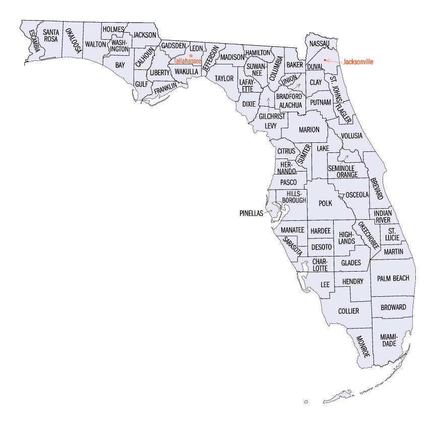
Florida Counties
There are sixty-seven counties in the state of Florida. In 1821, there were only two Counties in Florida: Escambia to the west and St. Johns to the east. From these two Counties were formed 67 today. Its last county was created in 1925 with the formation of Gilchrist County from a segment of Alachua County.Hernando County, Florida
Hernando County Education, Geography, and History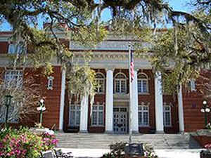
Hernando County is a county located in the state of Florida. Based on the 2010 census, the
population was 172,778. Hernando County was
created on February 24, 1843 from Alachua County (was renamed
Benton County from March 6, 1844 to December 24, 1850). The county
seat is
Brooksville, and its largest community is Spring Hill. This county is
named for Hernando de Soto (c.1496/1497-1542), a
Spanish explorer and conquistador.
Hernando County is included in the Tampa-St. Petersburg-Clearwater, FL Metropolitan Statistical Area. As of 2005, Hernando was the 35th
fastest growing county in the country.
Etymology - Origin of Hernando County Name
This county is named for Hernando de Soto (c.1496/1497-1542), a Spanish explorer and conquistador.
Demographics:
County QuickFacts: CensusBureau Quick Facts
Hernando County History
Then encompassing a significantly larger area of west
central Florida than it does today, Hernando County was officially established
on February 27, 1843, two years prior to Florida's admission into the Union. It
was created from portions of Alachua, Hillsborough and Orange Counties and
included all of present day Citrus and Pasco Counties. Named for Spanish
explorer Hernando de Soto, whose name has also been honored in De Soto County,
Hernando County was briefly renamed Benton County in 1844 for Missouri Senator
Thomas Hart Benton, a strong supporter of territorial expansion who aided in the
county's creation. However, Benton fell out of favor with the county's residents
later in the decade due to his decision to support the Missouri Compromise and
overall reversal of his stance on slavery, and the county's name reverted in
1850.
In December 1854, the legislature designated the small port town of Bayport the
County Seat. Residents living in the eastern section of the county instead
desired a more central place for the county government, and by 1855, voters had
selected an inland site within five miles (8 km) of the center of the county at
the town of Melendez. In 1856, the citizens of the Hernando County chose to
rename the town, their new County Seat, Brooksville in honor of South Carolina
Representative Preston Brooks, who in the same year beat fierce abolitionist
Massachusetts Senator Charles Sumner with a cane in the Senate chambers, winning
the Congressman great renown in the South.
Geography: Land and Water
As reported by the Census Bureau, the county has a total area of 589 square miles (1,526 km2), of which, 478 square miles (1,239 km2) of it is land and 111 square miles (287 km2) of it (18.80%) is water.
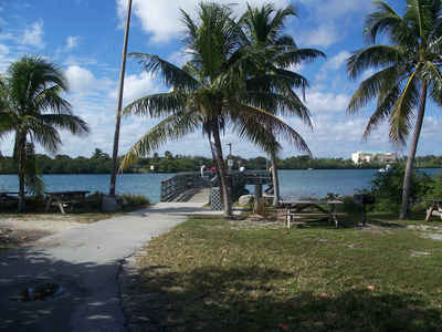
Hernando Beach is located close to the center of Florida. According to
the World Atlas USA, Hernando County is the geographic center of Florida.
Neighboring Counties
Bordering counties are as follows:
- North: Citrus County
- Northeast: Sumter County
- South: Pasco County
- West: Gulf of Mexico
Education


Click Image to Enlarge
