

Click Image to Enlarge
Florida Counties
There are sixty-seven counties in the state of Florida. In 1821, there were only two Counties in Florida: Escambia to the west and St. Johns to the east. From these two Counties were formed 67 today. Its last county was created in 1925 with the formation of Gilchrist County from a segment of Alachua County.Wakulla County, Florida
Wakulla County Education, Geography, and History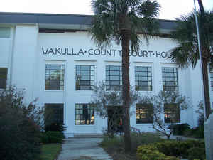
Wakulla County is a county located in the state of Florida. Based on the 2010 census, the
population was 30,776. Wakulla County was
created on March 11, 1843 from Leon County. The county
seat is
Crawfordville. This county is named for the Wakulla
River, itself named for a Spanish corruption of a Timucuan word used to
describe the body of water, but that is of uncertain meaning.
Wakulla County is part of the Tallahassee, FL Metropolitan Statistical Area.
Wakulla County has a near-absence of any municipal population, with two small municipalities holding about 3% of the population. The county
seat, Crawfordville, is the only unincorporated county seat among Florida's 67 counties.
Etymology - Origin of Wakulla County Name
The name Wakulla is corrupted from Guacara. Guacara is a Spanish phonetic spelling of an original Indian name,
and Wakulla is a Muskhogean pronunciation of Guacara. The Spanish Gua is the equivalent of the Creek wa, and as the
Creek alphabet does not exhibit an "R" sound, the second element cara would have been pronounced kala by the Creeks.
The Creek voiceless "L" is always substituted for the Spanish "R". Thus the word Guacara was pronounced Wakala by
the Seminoles who are Muskhogean in their origin and language.
Since Wakulla was probably a Timucuan word, it is unlikely that its meaning will ever be known. It may contain the
word kala which signified a "spring of water" in some Indian dialects.
Demographics:
County QuickFacts: CensusBureau Quick Facts
Wakulla County History
Wakulla County was created in 1843. The county may (although this is disputed) be named for the Timucuan Indian word for
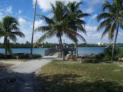
"spring of water" or "mysterious water." This is in reference to Wakulla County's greatest natural attraction, Wakulla
Springs, which is one of the world's largest freshwater springs, both in terms of depth and water flow. In 1974, the
water flow was measured at 1.23 billion gallons per day- the greatest recorded flow ever for a single spring.
Geography: Land and Water
As reported by the Census Bureau, the county has a total area of 736 square miles (1,906 km2), of which, 607 square miles (1,571 km2) of it is land and 129 square miles (334 km2) of it (17.54%) is water.
Wakulla county is located in northwest Florida. Ochlockonee River
State Park, San Marcos de Apalache Historic State Park, and Wakulla
Springs State Park are located in this county.
Neighboring Counties
Bordering counties are as follows:
- Northeast: Leon County; Jefferson County
- South: Gulf of Mexico
- Southwest: Franklin County
- West: Liberty County
Education


Click Image to Enlarge
