


Click Image to Enlarge
Illinois Counties
There are one hundred and two counties in Illinois. St. Clair County was the first county established in what is today Illinois. Most counties in Illinois were named after early American leaders, especially of the American Revolutionary War, as well as soldiers from the Battle of Tippecanoe and the War of 1812.Kankakee County, Illinois
Kankakee County Education, Geography, and History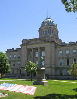
Kankakee County is a county located in the state of Illinois. According to the 2010 census, it has a
population of 113,449. Kankakee County was
created on February 11, 1853. The county
seat is Kankakee. The county is named
The County was named for an Indian name given to the
Kankakee River.
Kankakee County comprises the Kankakee, IL Metropolitan Statistical Area, which is included in the Chicago-Naperville, IL-IN-WI Combined
Statistical Area.
Etymology - Origin of Kankakee County Name
The county is named for an Indian name given to the Kankakee River.
Demographics:
County QuickFacts: CensusBureau Quick Facts
Kankakee County History
Kankakee County was created on February 11, 1853 (Laws, 1853, p. 159) and was formed from Ford, Iroquois and Will
Counties. Present area, or parts of it, formerly included in: Will County (1836-1853), Iroquois County (1833-1853),
Vermilion County (1826-1835), Edgar County (1823-1825), Fulton County (1823-1825), Clark County (1819-1823), Crawford
County (1816-1819), Edwards County (1815-1816), Madison County (1812-1815), St. Clair County (1801-1812) and Knox,
Northwest Territory (1790-1801).
The County was named for an Indian name given to a river rising in northern Indiana and flowing 225 miles southwest to
join the Des Plaines River and form the Illinois River in northeast Illinois. The name of the river was transferred to
the county. The County Seat is Kankakee (Name changed from Kankakee Depot in 1855.) .
Geography: Land and Water
As reported by the Census Bureau, the county has a total area of 681 square miles (1,765 km2), of which, 677 square miles (1,753 km2) of it is land and 5 square miles (12 km2) of it (0.69%) is water.
Kankakee county is located in northeast Illinois. Part of
Kankakee River State Park is located in this county.
Neighboring Counties
Bordering counties are as follows:
- Northeast: Lake County, Ind.
- Southeast: Newton County, Ind.
- South: Iroquois County
- Southwest: Ford County; Livingston County
- Northwest: Grundy County; Will County
Education


Click Image to Enlarge
