


Click Image to Enlarge
Kansas Counties
Kansas has one hundred and five counties. Originally 33 counties were organized by the Territorial Legislature in 1855. The Chase County Courthouse in Cottonwood Falls, Kansas was built in 1873 and is the oldest operating courthouse in Kansas. As of January 1, 2009 Greeley County and the city of Tribune unified to form the Unified Government of Greeley County..Atchison County, Kansas
Atchison County Education, Geography, and History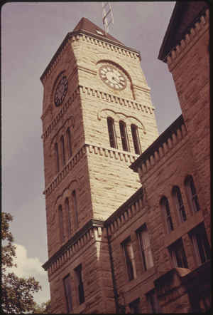
Atchison County is a county located in northeastern Kansas, in the Central United States. Based on the 2010 census, the
county population was 16,924. Atchison County was
created on August 25, 1855.The county
seat and most populous city is Atchison. Atchison
county is named in honor of David Rice Atchison, a
United States Senator from Missouri.
Atchison County comprises the Atchison, KS Micropolitan Statistical Area, which is also included in the Kansas City-Overland Park-Kansas City,
MO-KS Combined Statistical Area.
Etymology - Origin of Atchison County Name
The county is named for David H. Atchison, a United States Senator from Missouri, and President of the United States Senate at the date of the passage of the Act for the organization of the Territory of Kansas. He was a Pro-Slavery Democrat, and zealous partisan leader in the discussions and movements affecting the interests of slavery and its attempted establishment in the new state to be created.
Demographics:
County QuickFacts: CensusBureau Quick Facts
Atchison County History
Atchison County, one of the northeastern counties of the state, was created by the first territorial legislature in 1855, with the following boundaries, "Beginning at the southeast corner of the county of Doniphan; thence west twenty-five (25) miles; thence south sixteen (16) miles; thence east
to the Mississippi (Missouri) river; thence up said river to the place of beginning." The county was named in honor of David R. Atchison, United States senator from Missouri, and the town of Atchison was made the county seat. In 1868, the boundaries of the county were redefined as follows:
"Commencing at the southeast corner of Doniphan county; thence with the southern boundary of Doniphan county, to the township line between townships 4 and 5 south; thence west with the said township line between townships 4 and 5 south, to the range line between ranges 16 and 17 east; thence south
with said range line, to the southwest corner of section 19, of township 7 south of range 17 east; thence east with the section lines to the intersection with the west boundary line of the State of Missouri; thence north with said boundary line of the State of Missouri, to the place of beginning."
Atchison county is in the second tier of counties south of the Nebraska state line and has an area of 423 square miles. It is bounded on the north by Brown and Doniphan counties, on the east by Doniphan county and the Missouri river, which divides it from the State of Missouri, on the south by
Leavenworth and Jefferson counties and on the west by Jackson county.
Geography: Land and Water
As reported by the Census Bureau, the county has a total area of 434 square miles (1,120 km2), of which 431 square miles (1,120 km2) is land and 2.6 square miles (6.7 km2) (0.6%) is water. It is the fourth-smallest county by area in Kansas.
Atchison county is located in east Kansas. The surface of the county is gently rolling prairie, except along the Missouri river where it breaks into bluffs. Timber is found along all the streams, the main varieties being black walnut, burr-oak, black and white oak, hickory, red and white elm and honey-locust. The Missouri river forms the eastern boundary and the Delaware river flows across the southwest corner, Stranger creek in the center of the county, and Independence creek which forms a part of the northeastern boundary. A mineral spring, said to have medicinal properties, is at Arrington in the southwest. Limestone and sandstone are abundant; a rich vein of coal, averaging 3 feet or more in thickness, has been found just outside the corporate limits of Atchison; and there plenty of clay for making vitrified brick.
Neighboring Counties
Bordering counties are as follows:
- Northeast: Doniphan County; Buchanan County, Mo.
- Southeast: Platte County, Mo.; Leavenworth County
- South: Jefferson County
- Southwest: Jackson County
- Northwest: Brown County
Education
Unified School Districts
Atchison County Community USD 377
Atchison USD 409


Click Image to Enlarge
