


Click Image to Enlarge
Kansas Counties
Kansas has one hundred and five counties. Originally 33 counties were organized by the Territorial Legislature in 1855. The Chase County Courthouse in Cottonwood Falls, Kansas was built in 1873 and is the oldest operating courthouse in Kansas. As of January 1, 2009 Greeley County and the city of Tribune unified to form the Unified Government of Greeley County..Mitchell County, Kansas
Mitchell County Education, Geography, and History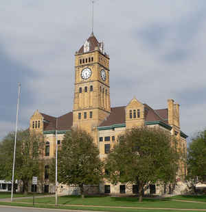
Mitchell County is a county located in the state of Kansas. Based on the 2010 census, the county population was 6,373. Mitchell County was created on February 26, 1867. The county seat is Beloit. The county is named in honor of William D. Mitchell, who entered the Union army as a private in Company K, Second Kansas Cavalry.
Etymology - Origin of Mitchell County Name
The county is named in honor of William D. Mitchell who entered the Union army as a private in Company K, Second Kansas Cavalry; was promoted to Captain in the Second Kentucky Cavalry, and killed March 10, 1865 at Monroe's Cross Road, North Carolina.
Demographics:
County QuickFacts: CensusBureau Quick Facts
Mitchell County History
Mitchell County, one of the counties which was settled after the Civil war, is centrally located east and west, and is the second county south from Nebraska. It is bounded on the north by Jewell county; on the east by Cloud and Ottawa; on the south by Lincoln, and on the west by Osborne. The name was given it in honor of Capt. William D. Mitchell, who enlisted in the Union army as a private soldier in the second Kansas cavalry, and after being promoted to the rank of captain was killed at Monroe's cross-roads, N. C., in 1865.
Geography: Land and Water
As reported by the Census Bureau, the county has a total area of 719 square miles (1,860 km2), of which 702 square miles (1,820 km2) is land and 17 square miles (44 km2) (2.4%) is water.
Mitchell county is located close to the center of Kansas. The county is rolling prairie with bottom lands about miles wide along the Solomon river. The north and south forks of the Solomon join just within the western limits of the county, forming the main river, which flows southeast into Cloud county. Salt marshes are plentiful in the southern part of the county. Magnesian limestone and sandstone of good quality for building material are widely quarried along the bluffs. Potter's clay and gypsum are found in several localities.
Neighboring Counties
Bordering counties are as follows:
- Jewell County (north)
- Cloud County (east)
- Ottawa County (southeast)
- Lincoln County (south)
- Osborne County (west)
Education
Unified School Districts
Waconda USD 272
Beloit USD 273
Private schools
St. John's Catholic High School
Tipton Catholic High School
Colleges and Universities
North Central Kansas Technical College (Beloit)


Click Image to Enlarge
