


Click Image to Enlarge
Kentucky Counties
Kentucky has one hundred and twenty counties, third in the US behind Texas's (254) and Georgia's (159.) Washington County was the first county formed in the Commonwealth of Kentucky when it reached statehood, and the sixteenth county formedClark County, Kentucky
Clark County Education, Geography, and History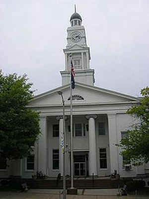
Clark County is a county located in the state of Kentucky. Based on the 2010 census, the population was 35,613. The county seat is Winchester. The county was created in 1792. Clark county is named for Revolutionary War hero George Rogers Clark.
Clark County is part of the Lexington-Fayette, KY Metropolitan Statistical Area.
Etymology - Origin of Clark County Name
The county is named for General George Rogers Clark (1752-1818), Kentucky military hero.
Demographics:
County QuickFacts: CensusBureau Quick Facts
Clark County History
Many pioneers traveled through nearby Fort Boonesborough (alternatively known as Fort Boonesboro) in Madison County, Kentucky, before
establishing permanent settlements in Clark County. At least nineteen pioneer stations (settlements) are believed to have been established in
the area during the American Revolution. These included Strode's Station (1779), near Winchester; McGee's Station (ca. 1780), near
Becknerville; Holder's Station (1781), on Lower Howard's Creek; and Boyle's Station (ca. 1785), one mile west of Strode's Station. Among the
early settlers was a group of forty Baptist families led by Capt. William Bush, who settled on Lower Howard's Creek in 1775. In 1793 they
erected the Old Stone Meeting House. Another early group founded the Tracy settlement, erecting a church building in the 1790s that survived
into the early 20th century.
When the Indian threat ended, commercial and agricultural enterprises began. Wharfs for loading flatboats were located along the Kentucky
River and its tributaries. In the early 19th century, Clark County farmer began importing European livestock. Industries such as distilleries
and mills thrived all through the county until 1820, when they began to be concentrated around Winchester.
Clark County began in 1785 as Bourbon County, Virginia, when it was created from Fayette County, Kentucky (also then in Virginia). It was much
larger area than present-day Bourbon County, as its original territory is now divided among Bracken, Boone, Campbell, Clark, Estill, Fleming,
Floyd, Greenup, Harrison, Kenton, Mason, Montgomery, Lewis, Nicholas, Pendleton, Powell, and Robertson. Bourbon County is from which Bourbon
whiskey evolved its name.
Clark county was formed in 1793. It is located in the Outer Bluegrass region of the state. The elevation in the county ranges from 549 to 1120 feet above sea level. In 2000 the county population was 33,144 in a land area of 254.31 square miles, an average of 130.3 people per square mile. The county seat is Winchester.
Tobacco is a major farm crop, and livestock are also raised there.
Geography: Land and Water
As reported by the Census Bureau, the county has a total area of 255 square miles (660 km2), of which 252 square miles (650 km2) is land and 2.7 square miles (7.0 km2) (1.1%) is water.
Clark county is located close to the center of Kentucky. The landscape of the county is gently rolling. Water sources in this county include the Kentucky River, Red River, Lulbegrud Creek, and Boone's Creek.
Neighboring Counties
Bordering counties are as follows:
- North: Bourbon County
- Northeast: Montgomery County
- Southeast: Powell County; Estill County
- Southwest: Madison County
- Northwest: Fayette County
Education


Click Image to Enlarge
