


Click Image to Enlarge
Kentucky Counties
Kentucky has one hundred and twenty counties, third in the US behind Texas's (254) and Georgia's (159.) Washington County was the first county formed in the Commonwealth of Kentucky when it reached statehood, and the sixteenth county formedLivingston County, Kentucky
Livingston County Education, Geography, and History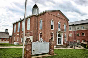
Livingston County is a county located in the state of Kentucky. Based on the 2010 census, the
population was 9,519. Livingston County was
created on December 13, 1798. The county
seat is
Smithland. Livingston county is named for Robert R.
Livingston, a member of the committee that drafted the Declaration of
Independence.
Livingston County is part of the Paducah, KY-IL Micropolitan Statistical Area.
Etymology - Origin of Livingston County Name
Livingston county is named for Robert R. Livingston (1746-1813), member of the Continental Congress and Secretary of Foreign Affairs, Minister to France, and one of the drafters of the Declaration of Independence.
Demographics:
County QuickFacts: CensusBureau Quick Facts
Livingston County History
Livingston county was formed in 1799. It is located in the Pennyrile region of the state. The county was strongly pro-Confederate during the American Civil War and many men volunteered for the Confederate Army. In 2000 the county population was 9,804 in a land area of 316.08 square miles, an average of 31.0 people per square mile. The county seat is Smithland.
Geography: Land and Water
As reported by the Census Bureau, the county has a total area of 342 square miles (890 km2), of which 313 square miles (810 km2) is land and 29 square miles (75 km2) (8.5%) is water.
Livingston county is located in west Kentucky. The western border with Illinois is formed by the Ohio River. The elevation in the county ranges from 302 to 754 feet above sea level.
Neighboring Counties
Bordering counties are as follows:
- North: Hardin County, Ill.
- Northeast: Crittenden County
- Southeast: Lyon County
- South: Marshall County
- Southwest: McCracken County
- West: Massac County, Ill.
- Northwest: Pope County, Ill.
Education


Click Image to Enlarge
