


Click Image to Enlarge
Kentucky Counties
Kentucky has one hundred and twenty counties, third in the US behind Texas's (254) and Georgia's (159.) Washington County was the first county formed in the Commonwealth of Kentucky when it reached statehood, and the sixteenth county formedSimpson County, Kentucky
Simpson County Education, Geography, and History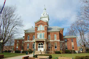
Simpson County is a county located in the state of Kentucky. Based on the 2010 census, the population was 17,327.Simpson County was established in 1819. The county seat is Franklin. The county is named for Captain John Simpson, a Kentucky militia officer.
Etymology - Origin of Simpson County Name
Captain John Simpson (?-1813), Indian fighter, Speaker in the Kentucky House of Representatives, and officer in the War of 1812. One of those honored after the Battle of River Raisin.
Demographics:
County QuickFacts: CensusBureau Quick Facts
Simpson County History
Simpson County was established in 1819 from Allen, Logan, and Warren Counties. The county is located in the Pennyrile region of the state. In 2000 the county population was 16,405 in a land area of 236.19 square miles, an average of 69.5 people per square mile. The county seat is Franklin.
Geography: Land and Water
As reported by the Census Bureau, the county has a total area of 236 square miles (610 km2), of which 234 square miles (610 km2) is land and 2.3 square miles (6.0 km2) (1.0%) is water. The elevation in the county ranges from 490 to 928 feet above sea level.
Simpson county is located in southwest Kentucky.
Neighboring Counties
Bordering counties are as follows:
- Northeast: Warren County
- East: Allen County
- Southeast: Sumner County, Tenn.
- Southwest: Robertson County, Tenn.
- Northwest: Logan County
Education


Click Image to Enlarge
