

Click Image to Enlarge
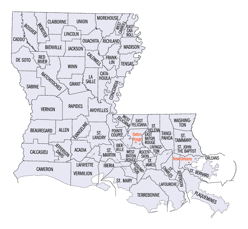
Louisiana Parishes
Louisiana is divided into sixty-four parishes. On March 31, 1807, the territorial legislature divided the state into 19 parishes, without getting rid of the old counties (which continued to exist until 1845). In 1811, a constitutional convention organized the state into seven judicial districts, each consisting of groups of parishes. In 1816, the first official map of the state used the term, as did the 1845 constitution. Since then, the official term has been parishes.LaSalle Parish, Louisiana
LaSalle Parish Education, Geography, and History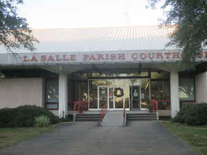
La Salle Parish is a parish located in the state of Louisiana. Based on the 2010 census, the population was 14,890. The parish was created in 1910. The parish seat is Jena. LaSalle parish is named for Rene-Robert Cavelier, Sieur de La Salle.
Etymology - Origin of LaSalle Parish Name
The parish was named in honor of explorer Rene Robert Cavelier, Sieur de La Salle.
Demographics:
County QuickFacts: CensusBureau Quick Facts
LaSalle County History
La Salle Parish was created on 1910, from Catahoula Parish and the parish was named in honor of explorer Rene Robert Cavelier, Sieur de La Salle. The Parish seat is Jena.
Geography: Land and Water
As reported by the Census Bureau, the parish has a total area of 662 square miles (1,710 km2), of which 625 square miles (1,620 km2) is land and 38 square miles (98 km2) (5.7%) is water.
La Salle parish is located close to the center of Louisiana. Part of the Catahoula National Wildlife Refuge is in this parish. The Little River flows through La Salle parish.
Neighboring Parishes
Bordering parishes and counties are as follows:
- North: Caldwell Parish
- East: Catahoula Parish
- South: Avoyelles Parish
- Southwest: Rapides Parish
- West: Grant Parish
- Northwest: Winn Parish
Education


Click Image to Enlarge
