


Click Image to Enlarge
Michigan Counties
The boundaries of the eighty-three counties in Michigan have not changed substantially since 1897. Wayne County was the sixth county in the Northwest Territory, formed 15 August 1796 and organized in 1815. Wayne County was created 21 November 1815 as an original county of Michigan.Calhoun County, Michigan
Calhoun County Education, Geography, and History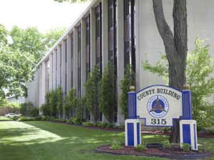
Calhoun County is a county in the state of Michigan. Based on the 2010 census, the population was 136,146. The county seat is Marshall.
The county was established on October 19, 1829 and named after John C. Calhoun, who was at the time Vice President under Andrew Jackson,
making it one of Michigan's Cabinet counties. County government was first organized March 6, 1833.
Calhoun County comprises the Battle Creek, MI Metropolitan Statistical Area and is included in the Kalamazoo-Battle Creek-Portage, MI Combined
Statistical Area.
Etymology - Origin of Calhoun County Name
Meaning of County Name
Demographics:
County QuickFacts: CensusBureau Quick Facts
Calhoun County History
Calhoun County, named for US Vice President John C. Calhoun, and is a Cabinet county.
Set Off: 1829
County government was first organized March 6, 1833.
Geography: Land and Water
As reported by the Census Bureau, the county has a total area of 718 square miles (1,860 km2), of which 706 square miles (1,830 km2) is land and 12 square miles (31 km2) (1.7%) is water.
Neighboring Counties
Bordering counties are as follows:
- Eaton County - north
- Barry County - northwest
- Jackson County - east
- Kalamazoo County - west
- Hillsdale County - southeast
- Branch County - south
- St. Joseph County - southwest
Education


Click Image to Enlarge
