


Click Image to Enlarge
Michigan Counties
The boundaries of the eighty-three counties in Michigan have not changed substantially since 1897. Wayne County was the sixth county in the Northwest Territory, formed 15 August 1796 and organized in 1815. Wayne County was created 21 November 1815 as an original county of Michigan.Menominee County, Michigan
Menominee County Education, Geography, and History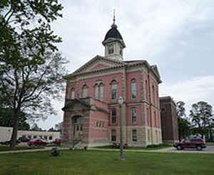
Menominee County is a county located in the Upper Peninsula in the state of Michigan. Based on the 2010 census, the population was
24,029. The county seat is Menominee. The county's name comes from an American Indian word meaning "wild rice eater" used to describe a tribe.
The county was originally created under the name of Bleeker in 1861. When county government was organized in 1863, the name was changed to
Menominee.
Menominee County is part of the Marinette, WI-MI Micropolitan Statistical Area.
Etymology - Origin of Menominee County Name
Menominee County is named for the Menominee Native American people. The county's name comes from an American Indian word meaning "wild rice eater."
Demographics:
County QuickFacts: CensusBureau Quick Facts
Menominee County History
Menominee County is named for the Menominee Native American people.
Set off: 1861 as Bleeker County
Organized: 1863 as Menominee County
Geography: Land and Water
As reported by the Census Bureau, the county has a total area of 1,338 square miles (3,470 km2), of which 1,044 square miles (2,700 km2) is land and 294 square miles (760 km2) (22%) is water.
Neighboring Counties
Bordering counties are as follows:
- Marquette County (north)
- Delta County (northeast)
- Dickinson County (northwest)
- Marinette County, Wisconsin (southwest)
Education


Click Image to Enlarge
