


Click Image to Enlarge
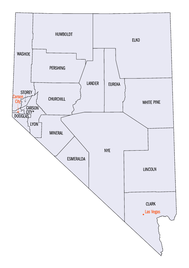
Nevada Counties
There are sixteen counties and one independent city in the state of Nevada. On November 25, 1861, the first Nevada Territorial Legislature established nine counties. Nevada was admitted to the Union on October 31, 1864 with eleven counties. In 1969, Ormsby County and Carson City were consolidated into a single municipal government known as Carson City.Lander County, Nevada
Lander County Education, Geography, and History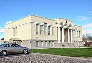
Lander County is a county located in the state of Nevada. Based on the 2010 census, the population was 5,775. Its county seat is Battle Mountain
Etymology - Origin of Lander County Name
Named in honor of Gen. Frederick W. Lander, a brigadier general during the Civil War, and fought in the Indian War of 1860. As chief engineer for a Federal wagon route, he was also in charge of the construction of the Central Overland Route. Landers died from wounds sustained in battle at 40 years old, at Paw Paw, Virginia
Demographics:
County QuickFacts: CensusBureau Quick Facts
Lander County History
December 19, 1862 - Lander County was one of the original nine counties created in 1861. Named in honor of Gen. Frederick W. Lander, a brigadier general during the Civil War, and fought in the Indian War of 1860. As chief engineer for a Federal wagon route, he was also in charge of the construction of the Central Overland
Route. Landers died from wounds sustained in battle at 40 years old, at Paw Paw, Virginia, March 2nd, 1862. Its first county seat was Jacobsville in
1862 which was soon after moved to Austin in 1863 and finally Battle Mountain in 1979. Austin began as a silver mining camp in 1862. Named for Alvah C. Austin, partner to David Buel who laid out the town site; however another source, the De Lamar Lode, April 30th,
1903 reported that it was so named in honor of John Austin. It is also claimed to commemorate Leander Kelse Austin, uncle of George Austin, developer of the Jumbo Mine in Humboldt County. Yet another story surfaces that claim the town was named by David Buel, for his home, Austin, Texas.
Geography: Land and Water
As reported by the Census Bureau, the county has a total area of 5,519 square miles (14,295 km2), of which, 5,494 square miles (14,228 km2) of it is land and 26 square miles (67 km2) of it (0.47%) is water.
The 11,477 ft (3498 m) summit of Bunker Hill, located in the Toiyabe Range near the Nye County border, is the highest point in the county
while the county's most topographically prominent peak is Mount Lewis.
Neighboring Counties
Bordering counties are as follows:
- Elko County, Nevada - north
- Eureka County, Nevada - east
- Nye County, Nevada - south
- Churchill County, Nevada - west
- Pershing County, Nevada - west
- Humboldt County, Nevada - northwest
Education


Click Image to Enlarge
