


Click Image to Enlarge
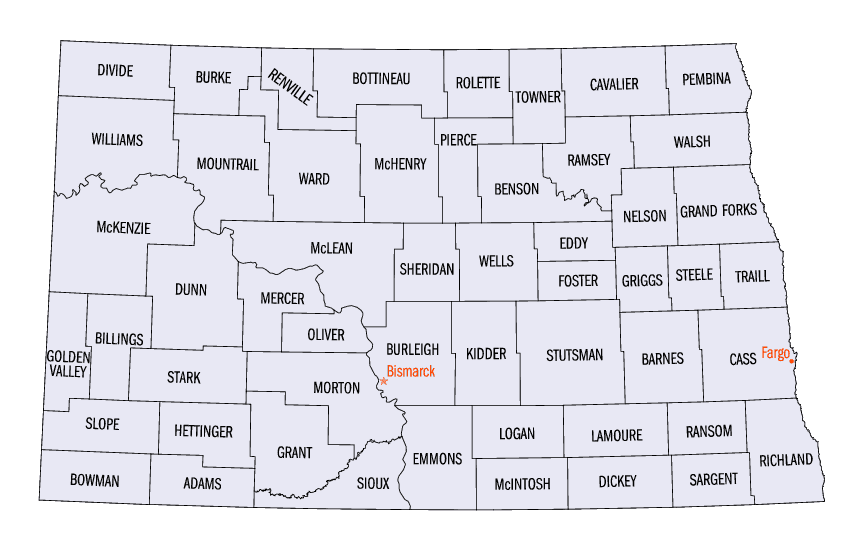
North Dakota Counties
There are fifty-three counties in the state of North Dakota. Pembina County was created by the 1866-1867 Dakota territorial legislature, and was organized on August 12, 1867. The city of Pembina, the oldest European-American settlement in the state, was the county seat from 1867 to 1911. The seat was relocated to Cavalier.Renville County, North Dakota
Renville County Education, Geography, and History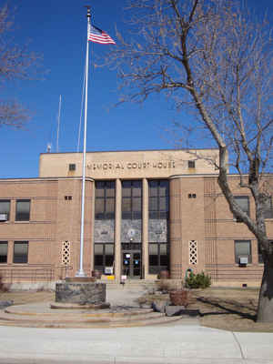
Renville County is a county located in the state of North Dakota. Based on the 2010 census, the population was 2,470. Its county seat is
Mohall. The county was originally created in 1873 but not organized until 1910.
Renville County is part of the Minot, ND Micropolitan Statistical Area. It is south from the Canadian border of Saskatchewan.
Etymology - Origin of Renville County Name
The original Renville County as created by the 1872-73 territorial legislature, but due to a lack of settlement, was dissolved in 1891. The name was revived as part of a proposal to partition Ward County at the November 1908 general election. Though supposedly defeated at the polls, the matter was litigated to a successful conclusion in July 1910, when a new Renville County was officially declared created.
Demographics:
County QuickFacts: CensusBureau Quick Facts
Renville County History
The original Renville County as created by the 1872-73 territorial legislature, but due to a lack of settlement, was dissolved in 1891. The name was revived as part of a proposal to partition Ward County at the November 1908 general election. Though supposedly defeated at the polls, the matter was litigated to a successful conclusion in July 1910, when a new Renville County was officially declared created. Government organized: July 23, 1910. County Seat: Mohall, 1910-present.
Geography: Land and Water
As reported by the Census Bureau, the county has a total area of 893 square miles (2,310 km2), of which 877 square miles (2,270 km2) is land and 16 square miles (41 km2) (1.8%) is water
Neighboring Counties
Bordering counties are as follows:
- Mount Pleasant No. 2, Saskatchewan (north)
- Argyle No. 1, Saskatchewan (north)
- Bottineau County (east)
- McHenry County (southeast)
- Ward County (south)
- Burke County (northwest)
Education


Click Image to Enlarge
