


Click Image to Enlarge
Ohio Counties
There is eighty-eight counties in the state of Ohio. Washington County the oldest in the state established on July 27, 1788. Noble County was formed on March 11, 1851 from portions of Guernsey, Morgan, Monroe and Washington counties. It was the last county to be formed in Ohio and, therefore, represents the youngest county in the state.Huron County, Ohio
Huron County Education, Geography, and History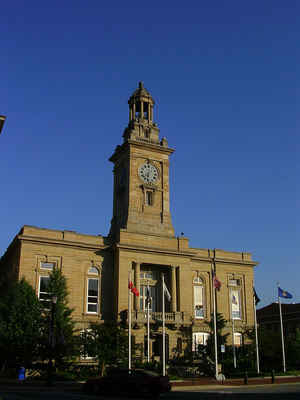
Huron County is a county located in the state of Ohio. Based on the 2010 census, the population was 59,626. Its county seat is Norwalk.
The county was created in 1809 and later organized in 1815.
Huron County is included in the Norwalk, OH Micropolitan Statistical Area, which is also included in the Cleveland-Akron-Canton, OH Combined
Statistical Area.
Etymology - Origin of Huron County Name
Residents named the county after the Huron Indians.
Demographics:
County QuickFacts: CensusBureau Quick Facts
Huron County History
On February 7, 1809, the State of Ohio authorized the creation of Huron County. Residents named the county after the Huron Indians. The county was originally a portion of the Connecticut Western Reserve and was also part of the Fire Lands.
Huron County is located in the north-central portion of Ohio. The county seat is Norwalk, which is the county's largest population center, with 16,238 residents in 2000. The county experienced almost a six percent increase in population between 1990 and 2000, raising the number of residents to
59,487 people. An average of 121 people lives in each of Huron County's 493 square miles.
Huron County is heavily rural, with urban areas comprising less than two percent of the county's land mass. With more than one thousand farms in the county, many residents find employment in agriculture, with manufacturing establishments and sales positions coming in second and third respectively.
The county's average income was 22,720 dollars per person in 1999, with less than nine percent of the population living in poverty.
President Rutherford B. Hayes and Civil War General James McPherson rank among Huron County's more famous residents.
Sources
Huron County, Ohio History Central, July 23, 2008,
http://www.ohiohistorycentral.org/entry.php?rec=1947&nm=Huron-County
Geography: Land and Water
As reported by the Census Bureau, the county has a total area of 495 square miles (1,280 km2), of which 491 square miles (1,270 km2) is land and 3.3 square miles (8.5 km2) (0.7%) is water.
Neighboring Counties
Bordering counties are as follows:
- Erie County (north)
- Lorain County (east)
- Ashland County (southeast)
- Richland County (south)
- Crawford County (southwest)
- Seneca County (west)
- Sandusky County (northwest)
Education


Click Image to Enlarge
