


Click Image to Enlarge
Ohio Counties
There is eighty-eight counties in the state of Ohio. Washington County the oldest in the state established on July 27, 1788. Noble County was formed on March 11, 1851 from portions of Guernsey, Morgan, Monroe and Washington counties. It was the last county to be formed in Ohio and, therefore, represents the youngest county in the state.Marion County, Ohio
Marion County Education, Geography, and History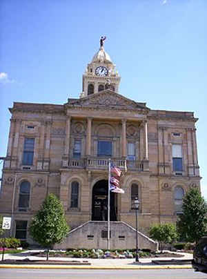
Marion County is a county located in the state of Ohio. Based on the 2010 census, the population was 66,501. Its county seat is Marion.
The county was created in 1820 and later organized in 1824. It is named for General Francis "The Swamp Fox" Marion, a South Carolinian officer
in the Revolutionary War.
Marion County comprises the Marion, OH Micropolitan Statistical Area, which is also included in the Columbus-Marion-Zanesville, OH Combined
Statistical Area.
Etymology - Origin of Marion County Name
Residents named the county in honor of for General Francis "The Swamp Fox" Marion, a hero of the American Revolution.
Demographics:
County QuickFacts: CensusBureau Quick Facts
Marion County History
On February 12, 1820, the Ohio government authorized the creation of Marion County. Residents named the county in honor of Francis Marion, a hero of the American Revolution. The county was the home of United States President Warren G. Harding. The Ohio Historical Society now operates Harding's
home as a museum. Harding is also buried in the county.
Marion County is located in the north central portion of Ohio. The county seat is Marion, which is the largest population center, with almost thirty-eight thousand residents in 2000. This marked a ten percent growth in the town's population since 1990, and the county, itself, experienced a three
percent growth rate, to a total population of 66,217 people, during this same time period. Much of this growth resulted from Franklin County and Delaware County residents trying to escape the busyness of Columbus. An average of 164 people live in each of Marion County's 404 square miles.
Despite the tremendous growth, Marion County remains heavily rural, but subdivisions and businesses are quickly taking over much of this land. Manufacturing businesses are the county's largest employer, with retail and government positions finishing second and third respectively. The Marion Power
Shovel Company, a manufacturer of construction equipment, was historically one of the county's largest employers. The Ohio State University Marion also employs numerous residents. The county's average income was approximately twenty-two thousand dollars per person in 1999, with almost twelve percent
of the population living in poverty.
Most voters in Marion County claim to be independents, yet in recent years, they have supported Republican candidates at the national level.
Sources
Marion County, Ohio History Central, July 24, 2008,
http://www.ohiohistorycentral.org/entry.php?rec=1969&nm=Marion-County
Geography: Land and Water
As reported by the Census Bureau, the county has a total area of 404 square miles (1,050 km2), of which 404 square miles (1,050 km2) is land and 0.4 square miles (1.0 km2) (0.1%) is water. It is the fifth-smallest county in Ohio by total area.
Neighboring Counties
Bordering counties are as follows:
- Crawford County (northeast)
- Morrow County (east)
- Delaware County (south)
- Union County (southwest)
- Hardin County (west)
- Wyandot County (northeast)
Education


Click Image to Enlarge
