


Click Image to Enlarge
Oklahoma Counties
There are seventy-seven counties in Oklahoma. Oklahoma originally had seven counties when it was first organized as the Oklahoma Territory. These counties were designated numerically, first through seventh. New counties added after this were designated by letters of the alphabet. The first seven counties were later renamed. The Oklahoma Constitutional Convention named all of the counties that were formed when Oklahoma entered statehood in 1907. Only two counties have been formed since thenCarter County, Oklahoma
Carter County Education, Geography, and History
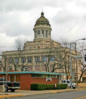
Carter County is a county located in the state of Oklahoma. Based on the 2010 census, the population was 47,557. Its county seat is Ardmore.
The county was named for Captain Ben W. Carter, a Cherokee who lived among the Chickasaw.
Carter County is part of the Ardmore, OK Micropolitan Statistical Area. It is also a part of the Texoma region.
Etymology - Origin of Carter County Name
Named after Captain Ben W. Carter, a Cherokee Indian who married and settled among the Chickasaws and whose son Charles D. Carter has represented the district including Carter County in congress ever since statehood.
Demographics:
County QuickFacts: CensusBureau Quick Facts
Carter County History
Prior to statehood, the present Carter County, Oklahoma, was part of Pickens County in the Chickasaw Nation of Indian Territory. After the Civil War, the government of the United States forced the Chickasaw government to allow railroads built across its territory. The Gulf, Colorado and Santa Fe Railway (controlled by the Atchison, Topeka and Santa Fe Railway, AT&SF) built a line north from Texas to Purcell.
Oklahoma History Center
Positioned in south-central Oklahoma, Carter County, created at 1907 statehood, contains 833.72 square miles of land
and water. The name honors the prominent Carter family, distinguished by Charles David Carter of Chickasaw and Cherokee
heritage, who served in Congress from 1907 to 1927. Garvin and Murray counties border Carter County on the north, with
Johnston and Marshall on the east, Love on the south, and Jefferson and Stephens on the west. At the beginning of the
twenty-first century the incorporated towns consisted of Ardmore (county seat), Dickson, Gene Autry, Healdton, Lone
Grove, Ratliff, Springer, Tatums, and Wilson....CARTER
COUNTY
Geography: Land and Water
As reported by the Census Bureau, the county has a total area of 834 square miles (2,160 km2), of which 822 square miles
(2,130 km2) is land and 12 square miles (31 km2) (1.4%) is water.
The county contains parts of several physiographic regions, including the Arbuckle Mountains, the Coastal Plains, the Red Bed plains and the
Cross Timbers. The northern part of the county drains to the Washita River, while several creeks drain the southern part directly to the Red
River.
Neighboring Counties
Bordering counties are as follows:
- Garvin County (north)
- Murray County (northeast)
- Johnston County (east)
- Marshall County (southeast)
- Love County (south)
- Jefferson County (southwest)
- Stephens County (northwest)
Education


Click Image to Enlarge
