

Click Image to Enlarge
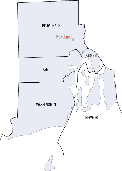
Rhode Island Counties
There are five counties in the state of Rhode Island. Rhode Island has the second lowest number of counties of any US state (only Delaware has fewer, with three counties). Although Rhode Island is divided into counties, it does not have any local government at the county level.Providence County, Rhode Island
Providence County Education, Geography, and History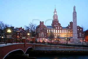
Providence County is a county located in the state of Rhode Island. Based on the 2010 census, the population was 626,667 (59.5% of the
state's total population). It is home to the state capital of Providence.
Providence County is included in the Providence-Warwick, RI-MA Metropolitan Statistical Area, which is also included in the
Boston-Worcester-Providence, MA-RI-NH-CT Combined Statistical Area.
Etymology - Origin of Providence County Name
Named by Baptists for divine providence.
Demographics:
County QuickFacts: CensusBureau Quick Facts
Providence County History
Established: June 22, 1703
Former Name: Providence Plantations
Date of Name Change: June 16, 1729
Bristol County was created from Bristol, Mass., 1747. Kent County was made from Providence County in 1750. Newport County was originally created as Rhode Island County in 1703 and renamed in 1729. Providence County was formed as Providence Plantations County in 1703. Washington County was originally created as Kings County from Providence Plantations in 1729 and renamed in 1781. Block Island was transferred from Newport County to Washington County May 6, 1963. Although you will see the "South County" mentioned in many places, it does not exist as an actual county. Basically, Charlestown, Exeter, Hopkinton, Narragansett, North Kingstown, Richmond, South Kingstown, Westerly and West Greenwich, make up what is known as South County, RI
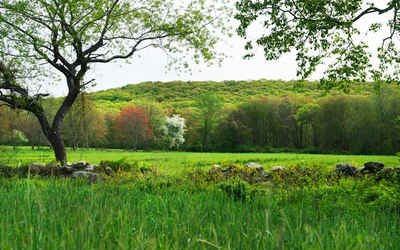
Geography: Land and Water
As reported by the Census Bureau, the county has a total area of 436 square miles (1,129 km2), of which, 413
square miles (1,070 km2) of it is land and 23 square miles (58 km2) of it (5.18%) is water.
The highest point in the county is Jerimoth Hill, also the highest in the state. Sea level is the lowest point.
Neighboring Counties
Bordering counties are as follows:
- Norfolk County, Massachusetts - northeast
- Bristol County, Rhode Island - east
- Bristol County, Massachusetts - east
- Kent County, Rhode Island - south
- Windham County, Connecticut - west
- Worcester County, Massachusetts - northwest
Education


Click Image to Enlarge
