

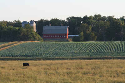
Click Image to Enlarge
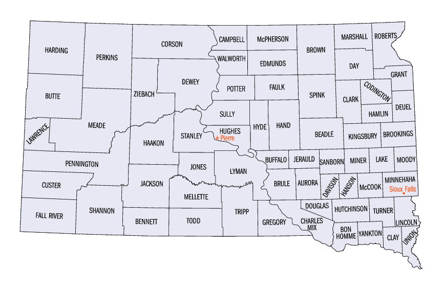
South Dakota Counties
There are sixty-six counties in the state of South Dakota. Todd County and Oglala Lakota County are the only counties in South Dakota which do not have their own county seatsLincoln County, South Dakota
Lincoln County Education, Geography, and History
Lincoln County is a county located in the state of South Dakota. Based on the 2010 census, the population was 44,828, making it the
third-most populated county in the state. Its county seat is Canton. The county was named after Abraham Lincoln, 16th President of the United
States.
Lincoln County is included in the Sioux Falls, SD, Metropolitan Statistical Area.
Etymology - Origin of Lincoln County Name
Lincoln was named after Abraham Lincoln.
Demographics:
County QuickFacts: CensusBureau Quick Facts
Lincoln County History
Lincoln County was named for Lincoln County, Maine, the birthplace of Wilmont W. Brookings, and created by an act of the territorial legislature April 5, 1862. The county was organized by a legislative act on December 30, 1867. Canton was named county seat by the same legislative act.
Geography: Land and Water
As reported by the Census Bureau, the county has a total area of 579 square miles (1,499 km2), of which, 578
square miles (1,497 km2) of it is land and 0 square miles (1 km2) of it (0.09%) is water.
Neighboring Counties
Bordering counties are as follows:
- Minnehaha County, South Dakota - north
- Lyon County, Iowa - northeast
- Sioux County, Iowa - southeast
- Union County, South Dakota - south
- Clay County, South Dakota - southwest
- Turner County, South Dakota - west
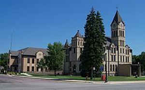
Education


Click Image to Enlarge
