

Click Image to Enlarge
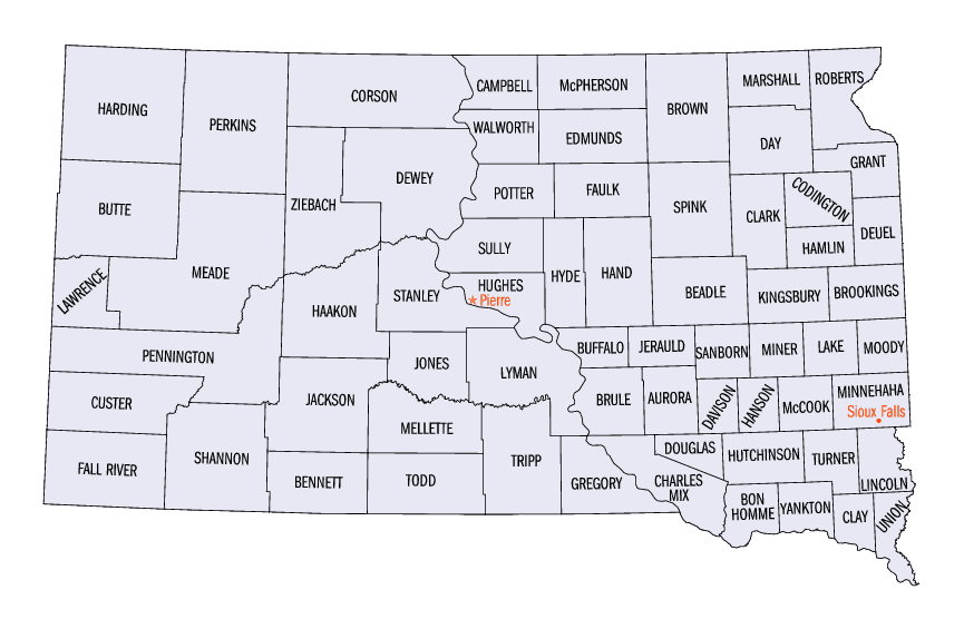
South Dakota Counties
There are sixty-six counties in the state of South Dakota. Todd County and Oglala Lakota County are the only counties in South Dakota which do not have their own county seatsStanley County, South Dakota
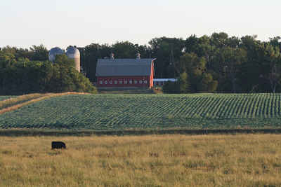
Stanley County Education, Geography, and History
Stanley County is a county located in the state of South Dakota. Based on the 2010 census, the population was 2,966. Its county seat is Fort
Pierre. The county was created in 1873 and organized in 1890.
Stanley County is included in the Pierre, SD Micropolitan Statistical Area.
Etymology - Origin of Stanley County Name
Stanley is named for military officer David S. Stanley, long-time commander at Fort Sully.
Demographics:
County QuickFacts: CensusBureau Quick Facts
Stanley County History
Stanley County, created in 1873 and organized in 1889, was named for Brig. General David S. Stanley, who for many years was commander at Fort Sully in Sully County, across the Missouri River from Stanley County. The first county officers were elected immediately after the organization in 1889. Fort Pierre was selected as the county seat after a spirited contest with the old town of Stanley.
Geography: Land and Water
As reported by the Census Bureau, the county has a total area of 1,517 square miles (3,929 km2), of which,
1,443 square miles (3,738 km2) of it is land and 74 square miles (191 km2) of it (4.86%) is water.
Neighboring Counties
Bordering counties are as follows:
- Dewey County, South Dakota - north
- Sully County, South Dakota - northeast
- Hughes County, South Dakota - east
- Lyman County, South Dakota - southeast
- Jones County, South Dakota - south
- Haakon County, South Dakota - west
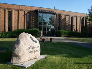
Education


Click Image to Enlarge
