


Click Image to Enlarge
Texas Counties
Texas is divided into two hundred and fifty-four counties, more than any other state. Texas was originally divided into municipalities, a unit of local government under Spanish and Mexican rule. When the Republic of Texas gained its independence in 1836, there were 23 municipalities, which became the original Texas counties. Many of these would later be divided into new counties. The most recent county to be created was Kenedy County in 1921. The most recent county to be organized was Loving County in 1931Carson County, Texas
Carson County Education, Geography, and History
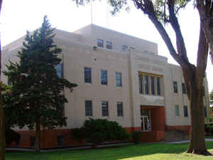
Carson County is a county located in the state of Texas. Based on the 2010 census, its population was 6,182. The county seat is Panhandle.
The county was founded in 1876 and later organized in 1888. It is named for Samuel Price Carson, the first secretary of state of the Republic
of Texas.
Carson County is included in the Amarillo, TX Metropolitan Statistical Area.
Etymology - Origin of Carson County Name
Samuel Price Carson, the first secretary of state of the Republic of Texas
Demographics:
County QuickFacts: CensusBureau Quick Facts
Carson County History
Prehistoric hunter-gatherer were the first inhabitants, followed by the Plains Apache. Modern Apache tribes followed
them and were displaced by Comanches. The Comanches were defeated by the United States Army in the Red River War of 1874.
Spanish conquistador Francisco Vasquez de Coronado explored the Llano Estacado in 1541.
Carson County was established in 1876 from Bexar County. The county was organized in 1888. Panhandle, the only town at the time, became the
county seat. Carson is named for Samuel Price Carson, the first secretary of state of the Republic of Texas. The seat of the county is
Panhandle
Handbook of Texas Online
The establishment of ranches and railroad construction led to a need for local government. A petition for
organization was circulated through the county in 1888, and in November of that year an election was held.
Panhandle, the county's only town at that time, was designated the county seat. Despite organization, however, the
county remained a ranching area throughout the 1890s, with a small population and only a handful of farmers and
stock raisers appearing as the decade wore on. As late as 1900 only 469 people were living in Carson County, and
only fifty-six farms and ranches had been established. More at
Donald R. Abbe, "CARSON COUNTY," Handbook of Texas Online (http://www.tshaonline.org/handbook/online/articles/hcc06),
accessed January 23, 2016. Uploaded on June 12, 2010. Published by the Texas State Historical Association.
Geography: Land and Water
As reported by the Census Bureau, the county has a total area of 924 square miles (2,393 km2), of which, 923 square miles (2,391 km2) of it is land and 1 square miles (2 km2) of it (0.10%) is water.
Neighboring Counties
Bordering counties are as follows:
- Hutchinson County (north)
- Roberts County (northeast)
- Gray County (east)
- Armstrong County (south)
- Potter County (west)
- Moore County (northwest)
Education


Click Image to Enlarge
