


Click Image to Enlarge
Texas Counties
Texas is divided into two hundred and fifty-four counties, more than any other state. Texas was originally divided into municipalities, a unit of local government under Spanish and Mexican rule. When the Republic of Texas gained its independence in 1836, there were 23 municipalities, which became the original Texas counties. Many of these would later be divided into new counties. The most recent county to be created was Kenedy County in 1921. The most recent county to be organized was Loving County in 1931Donley County, Texas
Donley County Education, Geography, and History
Donley County is a county located in the state of Texas. Based on the 2010 census, its population was 3,677. Its county seat is Clarendon. The county was created in 1876 and later organized in 1882
Etymology - Origin of Donley County Name
Stockton P. Donley, a frontier lawyer
Demographics:
County QuickFacts: CensusBureau Quick Facts
Donley County History
Donley County was established in 1876 from land given by the Bexar District. It is named for Stockton P. Donley,
justice of the state supreme court.
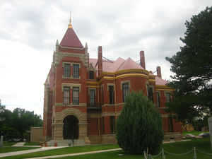
Its county seat is Clarendon.
The legendary cattle baron Charles Goodnight spent his later years in Donley County. It was also the home of historian
Harley True Burton, author of A History of the JA Ranch, which Goodnight formerly co-owned. Burton was president of
Clarendon College and the mayor of Clarendon from 1955-1963. The JA Ranch is located in the counties of Donley, Hall,
Briscoe, and Armstrong.
Handbook of Texas Online
The area that is now Donley County was part of the domain of the Plains Apaches until the eighteenth century,
when Comanches and Kiowas entered the region. Several Spanish and American explorers came through the area; in 1787
Pedro Vial crossed the county, and in 1788 Santiago Fern?dez followed Vial's
route. Americans did not enter the region until 1852, when captains Randolph B. Marcy and George B. McClellan
led their military surveying exploration of the Red River system into the area. The region remained the Indians'
domain until the Red River War of 1874-75. On September 7, 1874, during Col.
Nelson A. Miles's campaign, Lt. Frank D. Baldwin
and a scout fought their way out of a Cheyenne ambush on Whitefish Creek in the northeastern section of what is now
Donley County. The subsequent defeat of the Indians and their confinement to reservations in Indian Territory left
the area open to white settlement. In 1876 the area was separated from the jurisdiction of the Bexar District,
briefly assigned to Wegefarth County, and finally designated Donley County. More at
Donald R. Abbe and H. Allen Anderson, "DONLEY COUNTY," Handbook of Texas Online (http://www.tshaonline.org/handbook/online/articles/hcd10),
accessed January 23, 2016. Uploaded on June 12, 2010. Published by the Texas State Historical Association.
Geography: Land and Water
As reported by the Census Bureau, the county has a total area of 933 square miles (2,417 km2), of which, 930 square miles (2,408 km2) of it is land and 3 square miles (8 km2) of it (0.35%) is water.
Neighboring Counties
Bordering counties are as follows:
- Gray County (north)
- Collingsworth County (east)
- Hall County (south)
- Briscoe County (southwest)
- Armstrong County (west)
Education


Click Image to Enlarge
