


Click Image to Enlarge
Washington Counties
There are thity-nine counties in the state of Washington. Washington was carved out of the western part of Washington Territory and admitted to the Union as the 42nd state in 1889. The first counties were created from unorganized territory in 1845.King County, Washington
King County Education, Geography, and History
King County is a county located in the state of Washington. Based on the 2010 census, its population was 1,931,249. King is the most populous
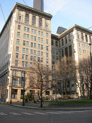
county in Washington, and the 13th-most populous in the United States. The county seat is Seattle, which is the state's largest city.
King County is included in the Seattle-Tacoma-Bellevue, WA Metropolitan Statistical Area.
Etymology - Origin of King County Name
William Rufus de Vane King, the thirteenth vice president of the United States. (The county was "renamed" in honor of Martin Luther King, Jr. in 1986.)
Demographics:
County QuickFacts: CensusBureau Quick Facts
King County History
King County was created 22 December 1852 from Thurston County
The county was formed out of territory within Thurston County on December 22, 1852, by the Oregon Territory
legislature, and was named after Alabama resident William R. King, Vice President under President Franklin Pierce.
Seattle was made the county seat on January 11, 1853.
King County originally extended to the Olympic Peninsula. According to historian Bill Speidel, when peninsular
prohibitionists threatened to shut down Seattle's saloons, Doc Maynard engineered a peninsular independence movement;
King County lost what is now Kitsap County, but preserved its entertainment industry.
County logo, 1969-2007 On February 24, 1986, the King County Council passed Council Motion 6461, "setting forth the
historical basis for the 'renaming' of King County in honor of Reverend Dr. Martin Luther King, Jr.". Because only the
state can charter counties, this change was not made official until April 19, 2005, when Washington Governor Christine Gregoire signed Senate Bill 5332 into law. Due primarily to the advocacy of councilmember Larry Gossett, the County
Council voted on February 27, 2006 to change the county's logo from a royal crown to an image of King's face. On
March 12, 2007, the new logo was unveiled
Geography: Land and Water
King County has nearly twice the land area of the state of Rhode Island. As reported by the Census Bureau, the
county has a total area of 2,307 square miles (5,974 km2). It is the 11th largest county in Washington (of 39) by
area. 2,126 square miles (5,506 km2) of it is land and 180 square miles (467 km2) of it is water. 7.82% of the total
area is water. The highest point in the county is Mount Daniel at 2426 meters (7,959 feet) above sea level.
King County borders Snohomish County to the north, Kitsap County to the west, Kittitas County to the east, and
Pierce County to the south. It also shares a small border with Chelan County to the northeast. King County includes
Vashon Island and Maury Island in Puget Sound.
Neighboring Counties
Bordering counties are as follows:
- Snohomish County, Washington - north
- Chelan County, Washington - east/northeast
- Kittitas County, Washington - east/southeast
- Pierce County, Washington - south
- Kitsap County, Washington - west
Education


Click Image to Enlarge
