


Click Image to Enlarge
Washington Counties
There are thity-nine counties in the state of Washington. Washington was carved out of the western part of Washington Territory and admitted to the Union as the 42nd state in 1889. The first counties were created from unorganized territory in 1845.Wahkiakum County, Washington
Wahkiakum County Education, Geography, and History
Wahkiakum County /wəˈkaɪ.əkʌm/ is a county located in the state of Washington. Based on the 2010 census, the population was 3,978, making it the second-least populous county in Washington. The county seat and only incorporated town is Cathlamet. The county was formed out of Cowlitz County on April 25, 1854 and is named for Chief Wahkiakum ("Tall Timber") of the Chinook.
Etymology - Origin of Wahkiakum County Name
Chief Wahkiakum of the Chinook Native American tribe.
Demographics:
County QuickFacts: CensusBureau Quick Facts
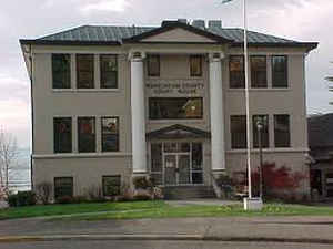
Wahkiakum County History
Wahkiakum County was created 24 April 1854 from Pacific County. Wahkiakum County lies on the broad tidal estuary near the mouth of the Columbia River in southwest Washington. It is named for the Wahkiakums, as the people whose villages once occupied the area were called by the explorers, traders, and settlers who arrived in the early nineteenth century. Cathlamet, the county seat and only incorporated town, is named for a related group who founded it some time before the Birnie family, the county's first pioneers, settled there in 1846. The Washington Territorial Legislature established Wahkiakum County in 1854. Early immigrants to the county, including many from Scandinavia, came for the seemingly inexhaustible fish in the river and the free homestead land. With Wahkiakum County's prodigious rainfall and immense rainforest trees, logging soon became the leading industry. For a century, forestry, fishing, and agriculture were central to the County's economy and way of life. As they have declined in recent years, Wahkiakum County has moved from a rural, resource-based existence to a more suburban one, as residents commute to, or retire from, urban areas in other counties.
Geography: Land and Water
As reported by the Census Bureau, the county has a total area of 287 square miles (743 km2), of which, 264
square miles (684 km2) of it is land and 22 square miles (58 km2) of it (7.83%) is water.
Neighboring Counties
Bordering counties are as follows:
- Pacific County, Washington - northwest
- Lewis County, Washington - north/northeast
- Cowlitz County, Washington - east/southeast
- Columbia County, Oregon - south/southeast
- Clatsop County, Oregon - south/southwest
Education


Click Image to Enlarge
