

Click Image to Enlarge
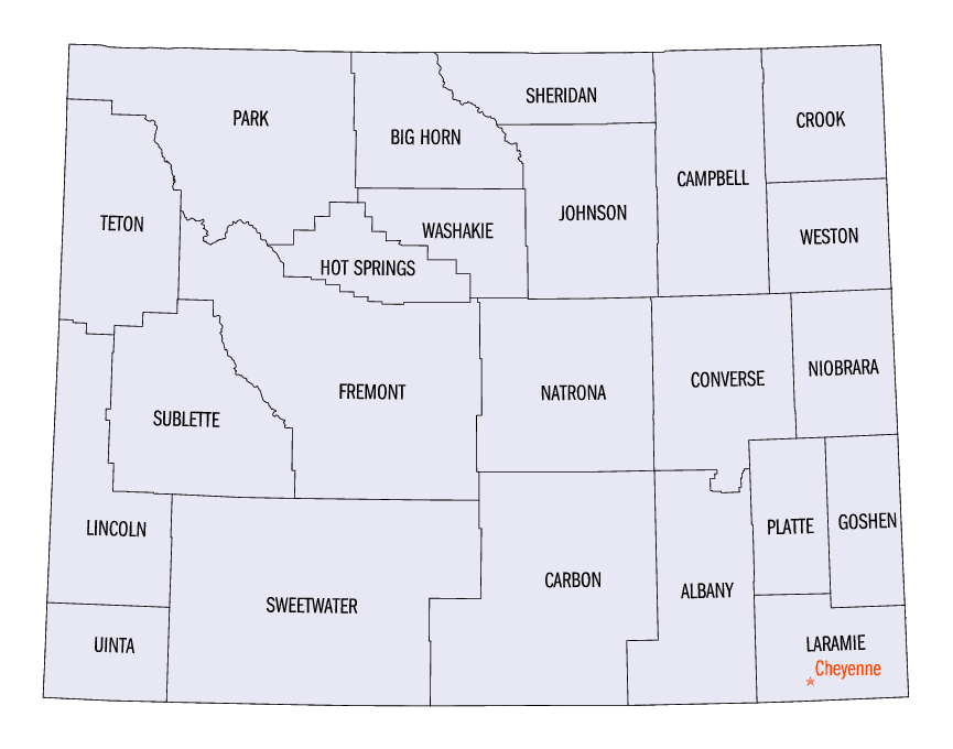
Wyoming Counties
There are twenty-three Counties in the state of Wyoming. There were originally five Counties in the Wyoming Territory: Laramie and Carter, established in 1867; Carbon and Albany established in 1868; and Uinta, an annexed portion of Utah and Idaho, extending from Montana (including Yellowstone Park) to the Wyoming-Utah boundary. On July 10, 1890, Wyoming was admitted to the Union with thirteen counties.Uinta County, Wyoming
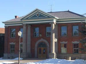
Uinta County Education, Geography, and History
Etymology - Origin of Uinta County Name
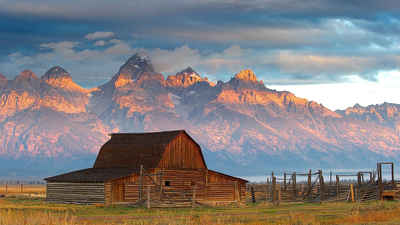
Named for the Uintah Mountains, which in turn were named for the Uintah Indians.
Demographics:
County QuickFacts: CensusBureau Quick Facts
Uinta County History
Uinta County was created on December 1, 1869 by the legislature of the Wyoming Territory. Originally, it ran along the entire western border of Wyoming, including Yellowstone National Park. The county was named for Utah's Uintah Mountains, which are visible from many places in the county. The county was given its present boundaries in 1911 when Lincoln County was carved out of the northern part of Uinta County..
The Territory of Wyoming was organized by Act of Congress in the year 1868, with the boundaries of the present
state. As originally divided, its four counties, extending from Montana on the north to the Colorado and Utah lines
on the south, were Laramie, Albany, Carbon and Carter. In its derivation Carter County stood alone among not only
the counties of Wyoming but of the nation as well, for it was composed of portions of the three great western
accessions of the United States. That part northeast of the Shoshone range came from the Louisiana Purchase of 1803.
From these mountains to the 42nd parallel is a tract acquired from the Oregon Territory, to which the claim of the
United States was definitely established in 1846. The land south of this came to us from the Mexican Cession of
1848. The territories of Utah, organized in 1850; Dakota, in 1861, and Idaho, in 1863, contributed to the formation
of Carter County. From the time of the organization of the Territory of Utah in 1850 to the establishment of our
territorial government, the southern part was known as Green River County, Utah.
At the meeting of the first territorial legislature in 1869 Carter County was divided into Sweetwater and Uinta
Counties. The original Uinta County was about fifty by two hundred and eighty miles in size. Within it lay nearly
all of the Yellowstone National Park.
Geography: Land and Water
As reported by the Census Bureau, the county has a total area of 2,088 square miles (5,407 km2), of which,
2,082 square miles (5,391 km2) of it is land and 6 square miles (15 km2) of it (0.28%) is water.
Neighboring Counties
Bordering counties are as follows:
- Lincoln County (north)
- Sweetwater County (east)
- Summit County, Utah (south)
- Rich County, Utah (northwest)
Education


Click Image to Enlarge
