


Montana Counties

Click Image to Enlarge
Montana Counties
There are fifty-six counties in Montana. Montana has two consolidated city-counties- Anaconda with Deer Lodge County and Butte with Silver Bow County. The portion of Yellowstone National Park that lies within Montana was not part of any county until 1997, when part of it was nominally added to Gallatin County, and the rest of it to Park County.Custer County, Montana
Custer County Education, Geography, and History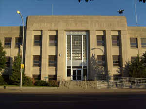
Custer County is a county located in the state of Montana. Based on the 2010 census, the population was 11,699. Its county seat is Miles City. The county was formed in 1877 and named in honor of George Armstrong Custer.
Etymology - Origin of Custer County Name
County name was originally Big Horn. In 1877 was renamed to Custer after Gen. George A. Custer.
Demographics:
County QuickFacts: CensusBureau Quick Facts
Custer County History
Custer County was created 2 February 1865 as an original county. County seat: Miles City
Geography: Land and Water
As reported by the Census Bureau, the county has a total area of 3,793 square miles (9,824 km2), of which,
3,783 square miles (9,798 km2) of it is land and 10 square miles (26 km2) of it (0.27%) is water.
Neighboring Counties
Bordering counties are as follows:
- Prairie County, Montana - north
- Fallon County, Montana - east
- Carter County, Montana - southeast
- Powder River County, Montana - south
- Rosebud County, Montana - west
- Garfield County, Montana - northwest
Education
Compare More Colleges and Universities

County Resources

Click Image to Enlarge

Search
© Copyright 2004-2024, eRD (eReferenceDesk.com) owned and operated by Joseph L Ferguson. All rights reserved.