


Click Image to Enlarge
Montana Counties
There are fifty-six counties in Montana. Montana has two consolidated city-counties- Anaconda with Deer Lodge County and Butte with Silver Bow County. The portion of Yellowstone National Park that lies within Montana was not part of any county until 1997, when part of it was nominally added to Gallatin County, and the rest of it to Park County.Prairie County, Montana
Prairie County Education, Geography, and History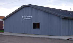
Prairie County is a county located in the state of Montana. Based on the 2010 census, the population was 1,179. Its county seat is Terry. Prairie County was created by the Montana Legislature in 1915 out of parts of Custer, Dawson, and Fallon Counties. The name was selected in a contest and reflects the predominant landscape of the region
Etymology - Origin of Prairie County Name
The county's location on the Great Plains
Demographics:
County QuickFacts: CensusBureau Quick Facts
Prairie County History
Prairie County was created 5 February 1915 from Custer County. County seat: Terry
Geography: Land and Water
As reported by the Census Bureau, the county has a total area of 1,743 square miles (4,513 km2), of which,
1,737 square miles (4,498 km2) of it is land and 6 square miles (16 km2) of it (0.34%) is water.
Neighboring Counties
Bordering counties are as follows:
- McCone County, Montana - north
- Dawson County, Montana - north
- Wibaux County, Montana - east
- Fallon County, Montana - southeast
- Custer County, Montana - south
- Garfield County, Montana - west
Education


Click Image to Enlarge
