


Click Image to Enlarge
Montana Counties
There are fifty-six counties in Montana. Montana has two consolidated city-counties- Anaconda with Deer Lodge County and Butte with Silver Bow County. The portion of Yellowstone National Park that lies within Montana was not part of any county until 1997, when part of it was nominally added to Gallatin County, and the rest of it to Park County.Roosevelt County, Montana
Roosevelt County Education, Geography, and History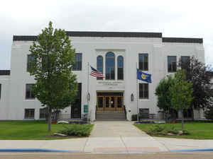
Roosevelt County is a county located in the state of Montana. Based on the 2010 census, the population was 10,425. Its county seat is Wolf Point. Roosevelt County was created by the Montana Legislature in 1919 from Sheridan County. The name honors former president Theodore Roosevelt, who had died shortly before the county was formed.
Etymology - Origin of Roosevelt County Name
Theodore Roosevelt, the twenty-sixth President of the United States
Demographics:
County QuickFacts: CensusBureau Quick Facts
Roosevelt County History
Roosevelt County was created 18 February 1919 from Valley, Richland, and Sheridan Counties. County seat: Wolf Point
Geography: Land and Water
As reported by the Census Bureau, the county has a total area of 2,370 square miles (6,137 km2), of which,
2,356 square miles (6,101 km2) of it is land and 14 square miles (36 km2) of it (0.59%) is water. Over 74 percent of
the county's land area lies within the Fort Peck Indian Reservation.
Neighboring Counties
Bordering counties are as follows:
- Sheridan County, Montana - north
- Daniels County, Montana - north
- Valley County, Montana - west
- McCone County, Montana - southwest
- Richland County, Montana - south
- Williams County, North Dakota - east
Education


Click Image to Enlarge
