

Click Image to Enlarge
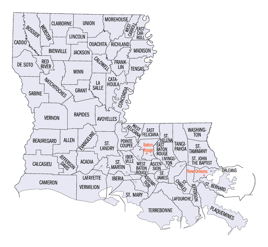
Louisiana Parishes
Louisiana is divided into sixty-four parishes. On March 31, 1807, the territorial legislature divided the state into 19 parishes, without getting rid of the old counties (which continued to exist until 1845). In 1811, a constitutional convention organized the state into seven judicial districts, each consisting of groups of parishes. In 1816, the first official map of the state used the term, as did the 1845 constitution. Since then, the official term has been parishes.Claiborne Parish, Louisiana
Claiborne Parish Education, Geography, and History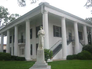
Claiborne Parish is a parish located in the northwestern section of the state of Louisiana. Based on the 2010 census, the population was 17,195.The parish was formed in 1828. The parish seat is Homer. Claiborne parish is named for the first Louisiana governor, William C. C. Claiborne.
Etymology - Origin of Claiborne Parish Name
The parish was named in honor of Governor of Louisiana William C. C. Claiborne.
Demographics:
County QuickFacts: CensusBureau Quick Facts
Claiborne County History
Claiborne Parish was created from Natchitoches Parish by Act No. 42 of the Louisiana General Assembly approved March 13, 1828, from Natchitoches Parish and the parish was named in honor of Governor of Louisiana William C. C. Claiborne. The parish seats have been located in Russellville (1828-1836), Overton (1836-1846, in present day Webster Parish), Athens (1846-1849), now known as Old Athens), and Homer (1849-present). The courthouse at Old Athens along with all parish records were destroyed by fire on November 6, 1849. The Parish seat is Homer. In 1849, Homer was chosen as the parish seat and the first courthouse was in such poor condition that lawyers and their clients had to camp out in the neighboring woods. The current courthouse was built in 1860.
Geography: Land and Water
As reported by the Census Bureau, the parish has a total area of 767 square miles (1,990 km2), of which 755 square miles (1,960 km2) is land and 13 square miles (34 km2) (1.6%) is water.
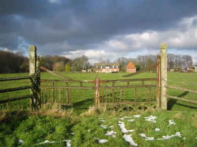
Claiborne parish is located in northwest Louisiana. Part of the Kisatchie National Forest is located in this parish. Lake Claiborne is located in this parish.
Neighboring Parishes
Bordering parishes and counties are as follows:
- Northeast: Union County, Ark.
- East: Union Parish
- Southeast: Lincoln Parish
- South: Bienville Parish
- Southwest: Webster Parish
- Northwest: Columbia County, Ark.
Education
Claiborne Parish School Board serves the parish.
Claiborne Academy is a private institution in an unincorporated area in the parish, near Haynesville


Click Image to Enlarge
