

Click Image to Enlarge
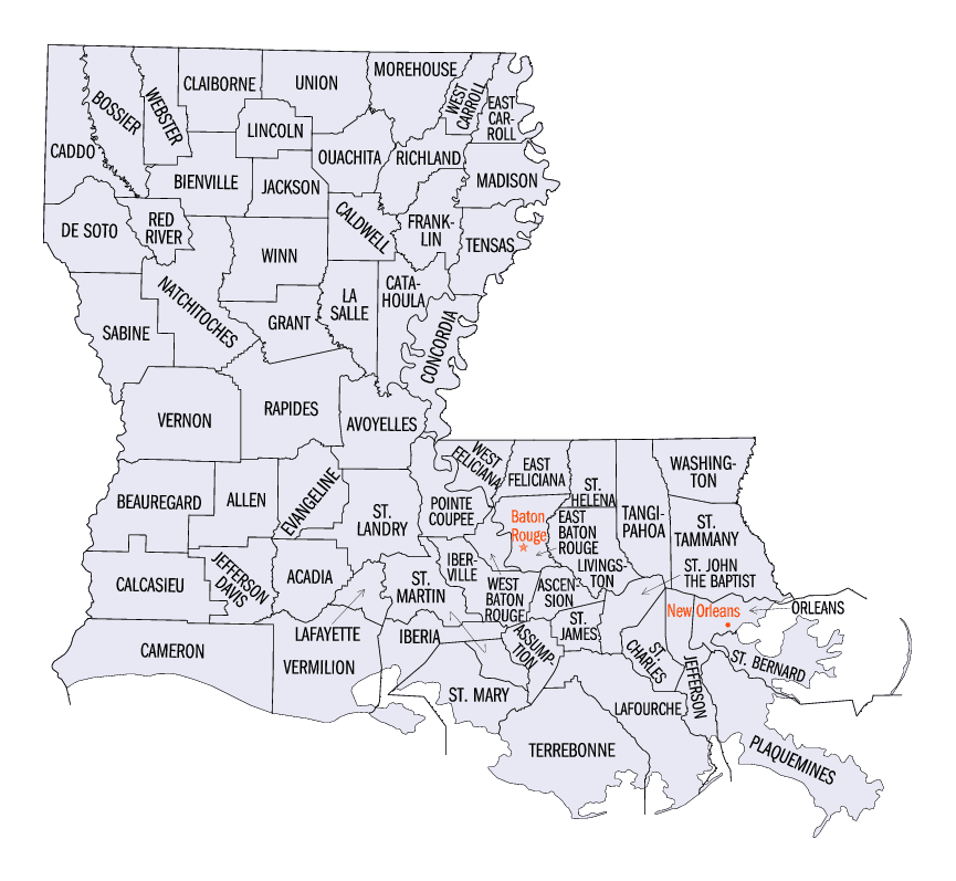
Louisiana Parishes
Louisiana is divided into sixty-four parishes. On March 31, 1807, the territorial legislature divided the state into 19 parishes, without getting rid of the old counties (which continued to exist until 1845). In 1811, a constitutional convention organized the state into seven judicial districts, each consisting of groups of parishes. In 1816, the first official map of the state used the term, as did the 1845 constitution. Since then, the official term has been parishes.DeSoto Parish, Louisiana
DeSoto Parish Education, Geography, and History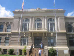
DeSoto Parish is a parish located in the state of Louisiana. Based on the 2010 census, the
population was 26,656. The parish was formed
in 1843. The parish seat is Mansfield.
DeSoto Parish is in fact named after the unrelated
Marcel DeSoto, who led the first group of European settlers there, to a
settlement historically known as Bayou Pierre.
DeSoto Parish is part of the Shreveport-Bossier City, LA Metropolitan Statistical Area.
Etymology - Origin of DeSoto Parish Name
It is a typical misconception that the parish was named after Hernando de Soto, the Spaniard who explored the future southeastern United States and discovered and named the Mississippi River. The parish was in fact named after the unrelated Marcel DeSoto, who led the first group of European settlers there, to a settlement in history known as Bayou Pierre.Demographics:
County QuickFacts: CensusBureau Quick Facts
DeSotoCounty History
De Soto Parish was created on 1843, from Natchitoches and Caddo Parishes and the parish was named in honor of Spanish explorer Hernando de Soto. The Parish seat is Mansfield.
The Battle of Mansfield was fought in DeSoto Parish on April 8, 1864. General Alfred Mouton was killed in the fighting, but his position was carried forward by Prince de Polignac, a native of France. The battle is commemorated at the Mansfield State Historic Site four miles south of Mansfield off Louisiana Highway 175. The Confederate victory prevented a planned Union invasion thereafter of Texas. Mansfield, also known as the Battle of Sabine Crossroads, a Confederate victory, occurred with one year and one day left in the duration of the war. Mansfield was quickly followed by the Battle of Pleasant Hill to the south.
Geography: Land and Water
As reported by the Census Bureau, the parish has a total area of 895 square miles (2,320 km2), of which 876 square miles (2,270 km2) is land and 19 square miles (49 km2) (2.1%) is water.
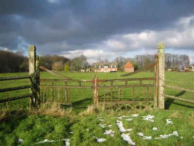
DeSoto Parish is located in northwest Louisiana. Part of the Red River National Wildlife Refuge is located in this parish.
Neighboring Parishes
Bordering parishes and counties are as follows:
- North: Caddo Parish
- East: Red River Parish
- Southeast: Natchitoches Parish; Sabine Parish
- Southwest: Shelby County, Tex.
- West: Panola County, Tex.
Education
Public schools in DeSoto Parish are operated by the DeSoto Parish School Board.


Click Image to Enlarge
