

Click Image to Enlarge
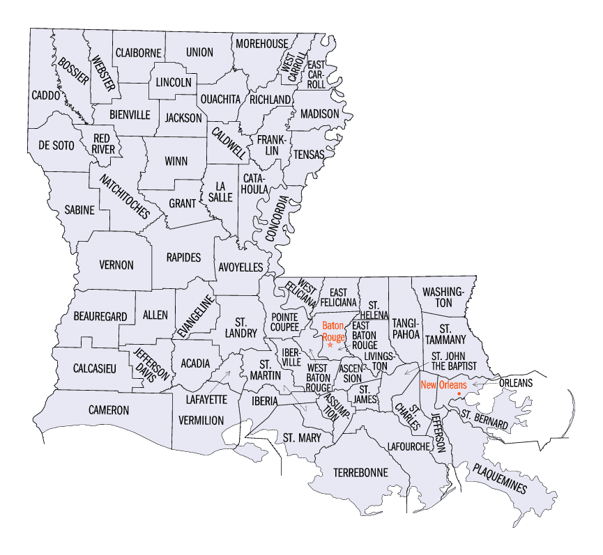
Louisiana Parishes
Louisiana is divided into sixty-four parishes. On March 31, 1807, the territorial legislature divided the state into 19 parishes, without getting rid of the old counties (which continued to exist until 1845). In 1811, a constitutional convention organized the state into seven judicial districts, each consisting of groups of parishes. In 1816, the first official map of the state used the term, as did the 1845 constitution. Since then, the official term has been parishes.Natchitoches Parish, Louisiana
Natchitoches Parish Education, Geography, and History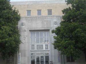
Natchitoches Parish is a parish located in the state of Louisiana. Based on the 2010 census, the
population was 39,566. The parish was formed
in 1805. The parish seat is
Natchitoches. The parish is named in honor of the Natchitoches Native American people.
The Natchitoches, LA Micropolitan Statistical Area includes all of Natchitoches Parish. This is the heart of the Cane River Louisiana Creole
community.
Etymology - Origin of Natchitoches Parish Name
The parish was named in honor of the Natchitoches Native American people.
Demographics:
County QuickFacts: CensusBureau Quick Facts
Natchitoches County History
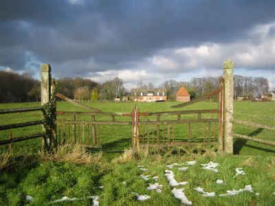
Natchitoches Parish was created on 1805, as an Original Parish and the parish was named in honor of the Natchitoches Native American people. The Parish seat is Natchitoches. The City of Natchitoches was founded by St. Denis, 1714; the oldest permanent settlement in Louisiana and the entire Louisiana Purchase territory west of the Mississippi. On this site, Fort St. Jean Baptiste was built about 1715.
Geography: Land and Water
As reported by the Census Bureau, the parish has a total area of 1,299 square miles (3,360 km2), of which 1,252 square miles (3,240 km2) is land and 47 square miles (120 km2) (3.6%) is water.
Natchitoches Parish is located in northwest Louisiana. Cane River Creole National Historical Park and Saline Bayou are National protected areas located in this parish. The main groundwater resources of Natchitoches Parish comprise the Red River alluvial, upland terrace, Sparta, and Carrizo-Wilcox aquifers.
Neighboring Parishes
Bordering parishes and counties are as follows:
- North: Bienville Parish
- Northeast: Winn Parish
- Southeast: Grant Parish; Rapides Parish
- South: Vernon Parish
- Southwest: Sabine Parish
- Northwest: DeSoto Parish; Red River Parish
Education
Natchitoches Parish School Board operates local public schools. Parish schools include: Cloutierville Elementary & Junior High School, East Natchitoches Elementary & Middle High School, Fairview Alpha Elementary & Junior High School, Frankie Ray Jackson, Sr. Technical Center, George L. Parks Elementary & Junior High School, Goldonna Elementary & Junior High School, L.P. Vaughn Elementary & Junior High School, Lakeview High School, M.R. Weaver Elementary, Marthaville Elementary & Junior High School, Natchitoches Central High School, Natchitoches Magnet School, NSU Elementary Laboratory School, NSU Middle Laboratory School, and Provencal Elementary & Junior High School.


Click Image to Enlarge
