

Click Image to Enlarge
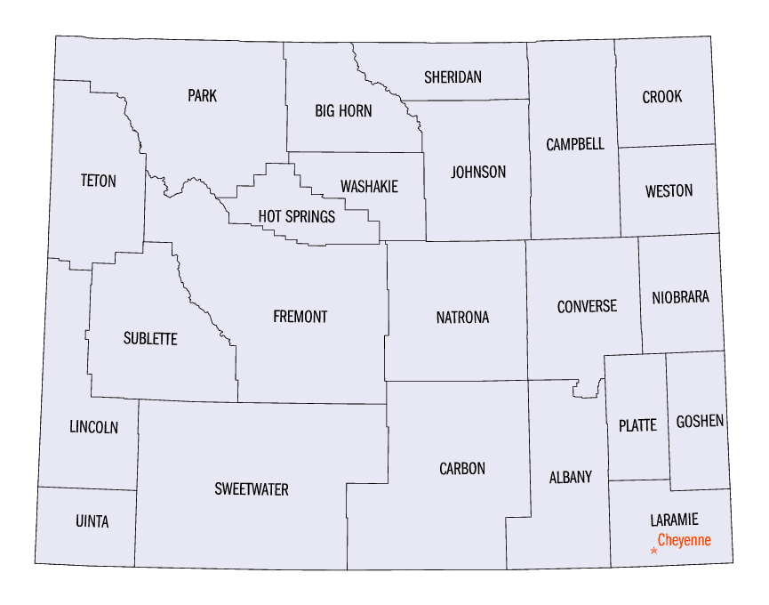
Wyoming Counties
There are twenty-three Counties in the state of Wyoming. There were originally five Counties in the Wyoming Territory: Laramie and Carter, established in 1867; Carbon and Albany established in 1868; and Uinta, an annexed portion of Utah and Idaho, extending from Montana (including Yellowstone Park) to the Wyoming-Utah boundary. On July 10, 1890, Wyoming was admitted to the Union with thirteen counties.Big Horn County, Wyoming
Big Horn County Education, Geography, and History
Big Horn County is a county located in the state of Wyoming. Based on the 2010 census, the population was 11,668. The county seat is Basin. It is south from the Montana state line.
Etymology - Origin of Big Horn County Name
Named for the Big Horn or Rocky Mountain sheep, which were numerous in that part of the country in the early days.
Demographics:
County QuickFacts: CensusBureau Quick Facts
Big Horn County History
Big Horn County was organized in 1896. Bighorn County, Wyoming, is located in the northern part of Wyoming's bighorn basin. Bighorn County was created from parcels taken from Johnson, Fremont, and Sheridan counties, and was organized in 1897.
An examination of a buffalo petroglyph near Greybull, WY. indicated that 1000-1500 years ago showed that the Shosone and Crow Indian tribes lived in the Big Horn Basin before the arrival of white men. In 1823 the first group of white fur trappers led by Jedediah Smith passed through the Big Horn Basin and later spent their first winter with a band of Crow IndiansLegend has said that the Greybull name came from an ancient albino buffalo believed to be sacred by early area Native Americans.
Industries
The principle industries in Bighorn County are bentonite mining, farming, sugar beat & bean processing, and tourism.
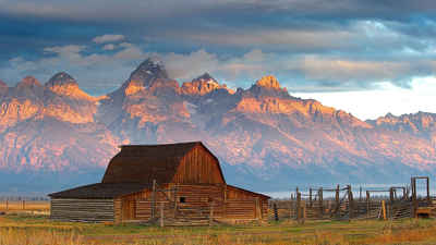
Big Horn County offers many attractions, including the Bighorn National Forest & Antelope Butte Ski Area, Pryor Mountain Wild Horse Refuge, Medicine Lodge Archaeological Site, Greybull Museum & dinosaur tracksite, Bighorn Reservoir Recreation Area, Shell Falls, Paintrock, and Medicine Wheel.
Geography: Land and Water
As reported by the Census Bureau, the county has a total area of 3,159 square miles (8,182 km2), of which,
3,137 square miles (8,125 km2) of it is land and 22 square miles (57 km2) of it (0.70%) is water.
Neighboring Counties
Bordering counties are as follows:
- Park County, Wyoming - west
- Washakie County, Wyoming - south
- Johnson County, Wyoming - east
- Sheridan County, Wyoming - east
- Big Horn County, Montana - north
- Carbon County, Montana - north
Education


Click Image to Enlarge
