


Click Image to Enlarge
Colorado Counties
Colorado currently has sixty-four counties. In February 1866, the first new county, Las Animas, was created. Alamosa was created in 1913, and in 2001, Broomfield was recognized as a city-county, bringing a total of 64 counties.Phillips County, Colorado
Phillips County Education, Geography, and History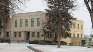
Phillips County is one of the 64 counties in the state of Colorado. Based on the 2010 census, the population was 4,442. The county seat is Holyoke. Phillips County was created on March 27, 1889 and was divided from Logan County. The county is named in honor of R.O. Phillips, a secretary of the Lincoln Land Company, who organized several towns in Colorado.
Etymology - Origin of Phillips County Name
Phillips County is named in honor of R.O. Phillips, secretary of the Lincoln Land Company.
Demographics:
County QuickFacts: CensusBureau Quick Facts
Phillips County History
Phillips County was created in 1889 from part of Logan County.
Geography: Land and Water
As reported by the Census Bureau, the county has a total area of 688 square miles (1,781 km2), of which, 688 square miles (1,781 km2) of it is land and 0 square miles (0 km2) of it (0.02%) is water.
Phillips county is located in northeast Colorado. Phillips county has
687.93 square miles of land area and 0.12 square miles of water area.
Phillips County is made up of the Colorado prairie, among the
rolling sandhills covered with buffalo grass.
Neighboring Counties
Bordering counties are as follows:
- North: Sedgwick County
- Northeast: Perkins County, Neb.
- East: Chase County, Neb.
- South: Yuma County
- West: Logan County
Education


Click Image to Enlarge
