


Click Image to Enlarge
Colorado Counties
Colorado currently has sixty-four counties. In February 1866, the first new county, Las Animas, was created. Alamosa was created in 1913, and in 2001, Broomfield was recognized as a city-county, bringing a total of 64 counties.Rio Blanco County, Colorado
Rio Blanco County Education, Geography, and History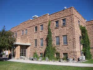
Rio Blanco County is one of the 64 counties of the state of Colorado. Based on the 2010 census, the population was 6,666. The county seat is Meeker. Rio Blanco County was created on March 25, 1889 from Garfield County. The name of the county is the Spanish language name for the White River which runs through it.
Etymology - Origin of Rio Blanco County Name
Rio Blanco County is named for Rio Blanco, or, in English, the White River.
Demographics:
County QuickFacts: CensusBureau Quick Facts
Rio Blanco County History
Rio Blanco County was created in 1889 from part of Garfield County.
Geography: Land and Water
As reported by the Census Bureau, the county has a total area of 3,223 square miles (8,347 km2), of which, 3,221 square miles (8,342 km2) of it is land and 2 square miles (5 km2) of it (0.06%) is water.
Rio Blanco county is located in west Colorado. Dinosaur Diamond
Prehistoric Highway, National Scenic Byway and Flat Tops Trail Scenic
Byway are located in Rio Blanco county.
Neighboring Counties
Bordering counties are as follows:
- North: Moffat County
- Northeast: Routt County
- Southeast: Garfield County
- West: Uintah County, Utah
Education


Click Image to Enlarge
