


Click Image to Enlarge
Georgia Counties
Georgia is divided into one hundred and fifty-nine counties. The original eight counties of the State of Georgia were Burke, Camden, Chatham, Effingham, Glynn, Liberty, Richmond and Wilkes all created on February 5, 1777. The last new county to be established in Georgia was Peach County, established in 1924.Coffee County, Georgia
Coffee County Education, Geography, and History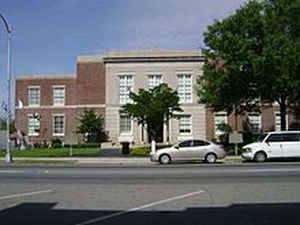
Coffee County is a county located in the state of Georgia. Based on the 2010 census, the
population was 42,356. Coffee County was
created on February 9, 1854. The county
seat is
Douglas. The county is named in honor of General John
E. Coffee (1782 - 1836), a hero of the War of 1812.
Coffee County comprises the Douglas, GA Micropolitan Statistical Area.
Etymology - Origin of Coffee County Name
The county is named for General John Coffee, who fought in the region's Indian wars and was a hero of the War of 1812.
Demographics:
County QuickFacts: CensusBureau Quick Facts
Coffee County History
Coffee County, was created in 1854 from parts of Clinch, Irwin, Telfair, and Ware counties. Georgia's 107th county was named for General John Coffee, who fought in the region's Indian wars and was a hero of the War of 1812.
DeSoto's Spanish soldiers were probably the first Europeans to set foot in this area.
Douglas was named for Stephen A. Douglas, Lincoln's opponent in the 1860 Presidential race.
Points of Interest
Coffee County is home to Broxton Rocks. These leopard-colored cliffs offer a botanist's dream of rare and endangered flora along with the largest and most dramatic outcrop of ancient sandstone anywhere on the coastal plain of the Southeastern US
General Coffee State Park is 1,490 acres of swimming, fishing, hiking, and camping. The park also features Pioneer Village, a 19th-century village complete with log cabins, chicken coop, smoke house, corn crib, and other exhibits.
The county is part of the Wiregrass Region. This area encompasses the southern third of the state and is named for the "wiregrass" which grows among the tall Georgia pines.
Geography: Land and Water
As reported by the Census Bureau, the county has a total area of 603 square miles (1,560 km2), of which 575 square miles (1,490 km2) is land and 28 square miles (73 km2) (4.6%) is water.
Coffee county is located in south Georgia. The county is mostly in the Satilla River basin with small portions in the Ocmulgee River basin and the Suwannee River basin.
Neighboring Counties
Bordering counties are as follows:
- North: Telfair County
- Northeast: Jeff Davis County
- East: Bacon County
- Southeast: Ware County
- South: Atkinson County
- Southwest: Berrien County
- West: Irwin County
- Northwest: Ben Hill County
Education
Higher Education
South Georgia College, the state's first publicly supported junior college.


Click Image to Enlarge
