


Click Image to Enlarge
Kansas Counties
Kansas has one hundred and five counties. Originally 33 counties were organized by the Territorial Legislature in 1855. The Chase County Courthouse in Cottonwood Falls, Kansas was built in 1873 and is the oldest operating courthouse in Kansas. As of January 1, 2009 Greeley County and the city of Tribune unified to form the Unified Government of Greeley County..Riley County, Kansas
Riley County Education, Geography, and History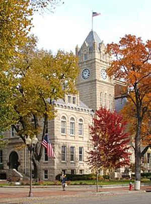
Riley County is a county located in the state of Kansas. Based on the 2010 census, the
population was 71,115.
Riley County was created on August 25, 1855. The
county seat is Manhattan. The county
is named in honor of Major General Bennett C. Riley
(1787-1853), who commanded the first military escort along the Santa Fe
Trail in 1829.
Riley County is part of the Manhattan, KS Metropolitan Statistical Area.
Etymology - Origin of Riley County Name
The county received its name from the adjacent military post which was established in 1853, and called Fort Riley in honor of General Riley of the United States army.
Demographics:
County QuickFacts: CensusBureau Quick Facts
Riley County History
Riley County, one of the counties organized by the first territoriai legislature in 1855, is the second county east of the 6th principal meridian, the second south from Nebraska, and the fifth west from the Missouri river. It is bounded on the north by Washington and Marshall counties; on the
east by Jackson and Shawnee; on the south by Wabaunsee and Geary, and on the west by Geary and Clay. As originally organized its eastern and western boundary lines were almost identical with those of Marshall county extended south, and the southern boundary was the Kansas river. Between the years
1857 and 1873 several changes were made in the county lines. The eastern line was moved west to the Big Blue river; the western 8 miles west to the present location; Geary county was enlarged from Riley county territory, and additions were made to the latter from Wabaunsee and Geary, forming one of
the most irregularly shaped counties in the state.
Fort Riley was established as Camp Center in 1853 to help defend against raiding Indians. It was renamed Fort Riley later that year in honor of Major General Bennet Riley.
Geography: Land and Water
As reported by the Census Bureau, the county has a total area of 622 square miles (1,610 km2), of which 610 square miles (1,600 km2) is
land and 12 square miles (31 km2) (2.0%) is water.
The eastern border of the county follows the former course of the Big Blue River. The river was dammed in the 1960s and Tuttle Creek Lake was
created as a result. The county falls within the Flint Hills region of the state.
Riley county is located in northeast Kansas. The county is generally rolling prairie. There are limestone bluffs along the Blue and Kansas rivers, which form the eastern and southeastern boundaries. There are several smaller streams, of which Fancy creek flowing from west to east across the north, and Wild Cat creek flowing southeast across the central portion are the most important. The bottom lands along the streams make up about 20 per cent of the total area. Magnesian limestone, cement rock and potter's clay are found in abundance.
Neighboring Counties
Bordering counties are as follows:
- Marshall County (northeast)
- Pottawatomie County (east)
- Wabaunsee County (southeast)
- Geary County (south)
- Clay County (west)
- Washington County (northwest)
Education
Colleges and universities
Kansas State University
Manhattan Christian College
Manhattan Area Technical College
Unified School Districts
Riley County USD 378
Manhattan-Ogden USD 383
Manhattan High School
Blue Valley USD 384


Click Image to Enlarge
