


Click Image to Enlarge
Kentucky Counties
Kentucky has one hundred and twenty counties, third in the US behind Texas's (254) and Georgia's (159.) Washington County was the first county formed in the Commonwealth of Kentucky when it reached statehood, and the sixteenth county formedHenderson County, Kentucky
Henderson County Education, Geography, and History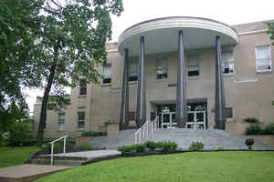
Henderson County is a county located in the state of Kentucky. Based on the 2010 census, the
population was 46,250. Henderson County was
created on December 21, 1798. The county
seat is
Henderson. Henderson county is named for Colonel Richard Henderson who purchased 17,000,000 acres of land from the
Cherokee Indians, part of which would eventually make up of the county.
Henderson County is part of the Evansville, IN-KY Metropolitan Statistical Area.
Etymology - Origin of Henderson County Name
Henderson county is named for Colonel Richard Henderson (1735-1785), founder of the Transylvania Company which acquired portions of Kentucky from the Indians.
Demographics:
County QuickFacts: CensusBureau Quick Facts
Henderson County History
Henderson County was established in 1798, using land taken from Christian County. Unfortunately, the historic 1843 courthouse was torn down in the 1960s to make way for a new building. It is located in the Western Coal Field region of the state. The county seat is Henderson.
Geography: Land and Water
As reported by the Census Bureau, the county has a total area of 466 square miles (1,210 km2), of which 437 square miles (1,130 km2) is land and 30 square miles (78 km2) (6.4%) is water. The elevation in the county ranges from 331 to 588 feet above sea level. In 2000 the county population was 44,829 in a land area of 440.12 square miles, an average of 101.9 people per square mile.
Henderson county is located in west Kentucky. The county's northern border with Indiana is formed by the Ohio River.
Neighboring Counties
Bordering counties are as follows:
- North: Vanderburgh County, Ind.
- Northeast: Warrick County, Ind.
- East: Daviess County
- Southeast: McLean County
- Southwest: Webster County; Union County
- Northwest: Posey County, Ind.
Education


Click Image to Enlarge
