


Click Image to Enlarge
Kentucky Counties
Kentucky has one hundred and twenty counties, third in the US behind Texas's (254) and Georgia's (159.) Washington County was the first county formed in the Commonwealth of Kentucky when it reached statehood, and the sixteenth county formedJefferson County, Kentucky
Jefferson County Education, Geography, and History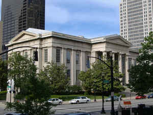
Jefferson County is a county located in the state of Kentucky. Based on the 2010 census, the
population was 741,096. Jefferson County was
created on May 1, 1780. The county
seat is Louisville. Jefferson county is named for
future President Thomas Jefferson, who was Governor of Virginia at the time.
Jefferson County is the anchor of the Louisville-Jefferson County, KY-IN Metropolitan Statistical Area.
Etymology - Origin of Jefferson County Name
Jefferson county is named for Thomas Jefferson (1743-1826), draftsman of the Declaration of Independence of the United States and the nation's first secretary of state, vice president and president, (1801-09), statesman responsible for the Louisiana Purchase.
Demographics:
County QuickFacts: CensusBureau Quick Facts
Jefferson County History
Jefferson County was organized in 1780 and one of the first three counties formed out of the original Kentucky County, which was still part of Virginia at the time (the other two being Fayette and Lincoln).
It is located in the Outer Bluegrass region of the state. This county is the most populous county in Kentucky and is more than twice as large as the second most populous, Fayette. The county seat is Louisville. Jefferson was one of the original counties in the Kentucky territory of Virginia. It is the most populous county and the most densely populated county in the state. In 2000 the county population was 693,604 in a land area of 385.09 square miles, an average of 1801.1 people per square mile.
The last major American Indian raid in present-day Jefferson County was the Chenoweth Massacre on July 17, 1789.
In 2003, its government merged with that of its largest city and county seat, Louisville, forming a new entity, the Louisville/Jefferson County Metro Government (official long form) or Louisville Metro (official short form). The new government generally avoids any self-reference including the name "Jefferson County" and has even renamed the Jefferson County Courthouse as "Metro Hall".
Geography: Land and Water
As reported by the Census Bureau, the county has a total area of 398 square miles (1,030 km2), of which 380 square miles (980 km2) is
land and 17 square miles (44 km2) (4.3%) is water.
Jefferson county is located close to the center of Kentucky. The
northern boundary of this county is formed by the Ohio River along with
the state of Indiana.
The highest point is South Park Hill, elevation 902 feet (275 m), located in the southern part of the county. The lowest point is 383 feet
(117 m) along the Ohio River just north of West Point, Kentucky.
Neighboring Counties
Bordering counties are as follows:
- North: Perry County
- Northeast: Letcher County; Wise County, Va.
- Southeast: Lee County, Va.
- Southwest: Bell County
- Northwest: Leslie County
Education


Click Image to Enlarge
