


Click Image to Enlarge
Kentucky Counties
Kentucky has one hundred and twenty counties, third in the US behind Texas's (254) and Georgia's (159.) Washington County was the first county formed in the Commonwealth of Kentucky when it reached statehood, and the sixteenth county formedOwen County, Kentucky
Owen County Education, Geography, and History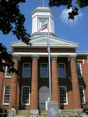
Owen County is a county located in the state of Kentucky. Based on the 2010 census, the population was 10,841. Owen County was formed on February 6, 1819. The county seat is Owenton. Owen County was named after Colonel Abraham Owen, an Indian fighter and Kentucky legislator.
Etymology - Origin of Owen County Name
Owen County was named after Abraham Owen, an Indian fighter and Kentucky legislator, who was killed at the Battle of Tippecanoe. Colonel Owen also surveyed and mapped the region that became Owen County.
Demographics:
County QuickFacts: CensusBureau Quick Facts
Owen County History
Numerous Native American burial mounds were located in Owen County. Many pioneers made their homes on land grants along
the many streams which flow through the county.
Owen County was formed as the 63rd county by the Commonwealth of Kentucky and approved February 6, 1819.
This county was formed from the counties of
Franklin, Scott, Gallatin, and Pendleton. Hesler (Heslerville) was the first county seat
and is located in the Outer Bluegrass region of the state.
On November 16, 1820, the legislature passed another act which restored to Franklin County part or all of what was taken from it under the 1819 act. To compensate for this, the legislature took some more land from Gallatin County and gave it to Owen by act dated December 26, 1820. Therefore, Hesler was no longer in the center of the county. Accordingly, on January 15, 1822, the county court ordered that the seat of justice be removed to land owned by Andrew Parker, James Hess, and William H. Forsee. The town Owenton was developed. Court was held at the new county seat on February 11, 1822.
Owen county is a prohibition or dry county, with the exception of a winery (Elk Creek Vineyards) that is authorized to sell its product to the public, and limited sales within the incorporated city limits of Owenton
Geography: Land and Water
As reported by the Census Bureau, the county has a total area of 354 square miles (920 km2), of which 351 square miles (910 km2) is land and 3.1 square miles (8.0 km2) (0.9%) is water. The elevation in the county ranges from 425 to 1000 feet above sea level. In 2000 the county population was 10,547 in a land area of 352.14 square miles, an average of 30.0 people per square mile.
Owen county is located close to the center of Kentucky. The Kentucky River borders the entire western boundary of this county with nearly 30 miles of shoreline and such sights as Horse Shoe Bend. Eagle Creek, the world's longest creek, flows through Owen County.
Neighboring Counties
Bordering counties are as follows:
- North: Gallatin County
- Northeast: Grant County
- Southeast: Scott County
- South: Franklin County
- Southwest: Henry County
- Northwest: Carroll County
Education


Click Image to Enlarge
