


Click Image to Enlarge
Kentucky Counties
Kentucky has one hundred and twenty counties, third in the US behind Texas's (254) and Georgia's (159.) Washington County was the first county formed in the Commonwealth of Kentucky when it reached statehood, and the sixteenth county formedRowan County, Kentucky
Rowan County Education, Geography, and History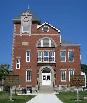
Rowan County is a county located in the state of Kentucky. Based on the 2010 census, the population was 23,333.The county was created in 1856. The county seat is Morehead. Rowan county is named after John Rowan, who represented Kentucky in the United States House and Senate.
Etymology - Origin of County Name
John Rowan (1773-1843), justice in the Kentucky Court of Appeals and United States senator.
Demographics:
County QuickFacts: CensusBureau Quick Facts
County History
In 1854, Morehead became the third community to be settled in the area. Colonel John Hargis founded the city after purchasing land in the county, naming it after governor James Morehead. Rowan County came into existence in May 1856, seceding from Morgan County and Fleming County. The county was divided into four districts with Morehead being declared the county seat
Rowan county is located in the Eastern Coal Field region of the state. In 2000 the county population was 22,094 in a land area of 280.82 square miles, an average of 78.7 people per square mile. The county seat is Morehead.
Geography: Land and Water
As reported by the Census Bureau, the county has a total area of 286 square miles (740 km2), of which 280 square miles (730 km2) is land and 6.5 square miles (17 km2) (2.3%) is water. The elevation in the county ranges from 625 to 1435 feet above sea level. The highest point is "Limestone Knob" at about 1,409 feet (429 m) above mean sea level.
Rowan county is located in east Kentucky, the Eastern Coal Field region of the state. Part of the Daniel Boone National Forest is located in this county.
Neighboring Counties
Bordering counties are as follows:
- North: Lewis County
- Northeast: Carter County
- Southeast: Elliott County; Morgan County
- Southwest: Menifee County
- West: Bath County
- Northwest: Fleming County
Education


Click Image to Enlarge
