


Click Image to Enlarge
Michigan Counties
The boundaries of the eighty-three counties in Michigan have not changed substantially since 1897. Wayne County was the sixth county in the Northwest Territory, formed 15 August 1796 and organized in 1815. Wayne County was created 21 November 1815 as an original county of Michigan.Ingham County, Michigan
Ingham County Education, Geography, and History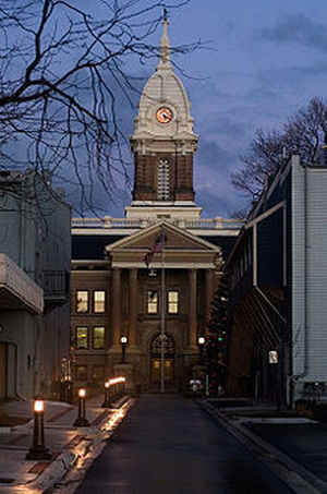
Ingham County is a county located in the state of Michigan. Based on the 2010 census, the population was 280,895. The county seat is
Mason. Lansing, the state capital of Michigan, is located within the county, and is the only state capital located in a county that is not
also its seat of government. The county is home to Michigan State University, Lansing Community College, and the Class A minor league baseball
team Lansing Lugnuts.
Ingham County is included in the Lansing-East Lansing, MI Metropolitan Statistical Area. It is considered to be a part of Mid Michigan.
Etymology - Origin of Ingham County Name
Ingham County named for United States Secretary of the Treasury Samuel D. Ingham, and is a Cabinet county.
Demographics:
County QuickFacts: CensusBureau Quick Facts
Ingham County History
Ingham County named for United States Secretary of the Treasury Samuel D. Ingham, and is a Cabinet county.
Ingham County was established by an act of the Michigan Territorial Legislature on October 29, 1829, from portions of Shiawassee County, Washtenaw County and unorganized territory. It was attached for administrative purposes to Washtenaw County until 1838 when county government was established for Ingham.
Geography: Land and Water
As reported by the Census Bureau, the county has a total area of 561 square miles (1,450 km2), of which 556 square miles (1,440 km2) is
land and 4.6 square miles (12 km2) (0.8%) is water.
The county consists of gently rolling hills with an elevation ranging between 800 to 1,000 feet above sea level. The highest point in the
county is the top of Teaspoon Hill rising to a height of 1,056 feet above sea level 1.5 miles north of the city Leslie.
The Grand River winds northward along the western boundary of the county and the Red Cedar River flows west across the northern section into
the Grand River in Lansing. Most of the midsection of the county drains to the north into the Red Cedar River and the northern tier of
townships drain to the south into the Cedar. The Sycamore Creek, flowing northwest into the Red Cedar in Lansing, drains much of the
midsection of the county. Most of the southern portion of the county drains south or west into the Grand River. The southeastern corner drains
to the southeast into the Huron River via the Portage Creek and Portage River and a series of small lakes.
Neighboring Counties
Bordering counties are as follows:
- Shiawassee County (northeast)
- Livingston County (east)
- Washtenaw County (southeast)
- Jackson County (south)
- Eaton County (west)
- Clinton County (northwest)
Education


Click Image to Enlarge
