


Click Image to Enlarge
Michigan Counties
The boundaries of the eighty-three counties in Michigan have not changed substantially since 1897. Wayne County was the sixth county in the Northwest Territory, formed 15 August 1796 and organized in 1815. Wayne County was created 21 November 1815 as an original county of Michigan.Keweenaw County, Michigan
Keweenaw County Education, Geography, and History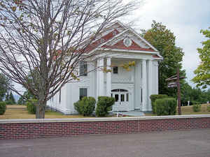
Keweenaw County is a county located in the Upper Peninsula of the state of Michigan. Based on the 2010 census, the population was 2,156,
making it the least populous county in Michigan. The county seat is Eagle River. The county was set off and organized in 1861. It is believed
that Keweenaw is "a Native American word meaning 'portage or place where portage is made.'"
Keweenaw County is included in the Houghton, Michigan, Micropolitan Statistical Area.
Etymology - Origin of Keweenaw County Name
Keweenaw County is named for an Ojibwe word gakiiwe-wewaning meaning portage.
Demographics:
County QuickFacts: CensusBureau Quick Facts
KeweenawCounty History
Keweenaw County is named for an Ojibwe word gakiiwe-wewaning meaning portage.
Set Off: 1861
Organized: 1861
Geography: Land and Water
As reported by the Census Bureau, the county has a total area of 5,966 square miles (15,450 km2), of which 540 square miles (1,400 km2)
is land and 5,426 square miles (14,050 km2) (91%) is water. It is the largest county in Michigan by total area, as well as the northernmost
county. It is also the largest county east of the Mississippi River, if its area under Lake Superior is included. Of all counties (or
county-equivalents) in the United States, Keweenaw County has the highest proportion of water area to total area. In essence, 90.95 percent of
the county consists of a significant part of Lake Superior, while only 9.05 percent is actually land. Isle Royale is its northernmost section.
The largest lake in the county is Gratiot Lake at 1,438 acres (5.82 km2), which is at the base of the county's two highest peaks, Mt. Horace
Greeley at 1,550 feet (470 m) and Mt. Gratiot at 1,490 feet (450 m).
Neighboring Counties
Bordering counties are as follows:
- Alger County, Michigan
- Marquette County, Michigan
- Ontonagon County, Michigan
- Cook County, Minnesota
Education


Click Image to Enlarge
