


Click Image to Enlarge
Montana Counties
There are fifty-six counties in Montana. Montana has two consolidated city-counties- Anaconda with Deer Lodge County and Butte with Silver Bow County. The portion of Yellowstone National Park that lies within Montana was not part of any county until 1997, when part of it was nominally added to Gallatin County, and the rest of it to Park County.Fergus County, Montana
Fergus County Education, Geography, and History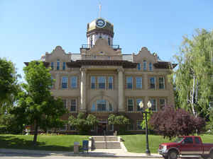
Fergus County is a county in the state of Montana. Based on the 2010 census, the population was 11,586. Its county seat is Lewistown. The
county was founded in 1885 and named for James Fergus, a Montana politician who was instrumental in creating the county (or, according to
another source, John Fergus
Etymology - Origin of Fergus County Name
The father of Andrew Fergus, one of the first settlers
Demographics:
County QuickFacts: CensusBureau Quick Facts
Fergus County History
Fergus County was created 12 March 1885 from Meagher and Chouteau Counties by an act of the Fourteenth Legislative Assembly, Montana Territory, in early 1885. The Bill was sponsored by James Fergus, a delegate from Meagher County. In November of 1886 the county became officially operative.
The new county of Fergus covered approximately 130 miles west to east and 90 miles from north to south. It
contained approximately 209 townships, over 7,524 square miles and 4,814,000 acres. The original Fergus County was
divided into Petroleum County and parts of Judith Basin, Wheatland, Golden Valley and all of present day Fergus
County.
The original Meagher County, before it was divided took in all of Meagher County and parts of what is now Fergus,
Judith Basin, Wheatland, Cascade, Golden Valley, Broadwater and Lewis & Clark Counties.
Geography: Land and Water
As reported by the Census Bureau, the county has a total area of 4,350 square miles (11,267 km2), of which,
4,339 square miles (11,238 km2) of it is land and 11 square miles (29 km2) of it (0.26%) is water.
Neighboring Counties
Bordering counties are as follows:
- Chouteau County, Montana - northwest
- Blaine County, Montana - north
- Phillips County, Montana - northeast
- Petroleum County, Montana - east
- Musselshell County, Montana - southeast
- Golden Valley County, Montana - south
- Wheatland County, Montana - southwest
- Judith Basin County, Montana - west
Education


Click Image to Enlarge
