


Montana Counties

Click Image to Enlarge
Montana Counties
There are fifty-six counties in Montana. Montana has two consolidated city-counties- Anaconda with Deer Lodge County and Butte with Silver Bow County. The portion of Yellowstone National Park that lies within Montana was not part of any county until 1997, when part of it was nominally added to Gallatin County, and the rest of it to Park County.Jefferson County, Montana
Jefferson County Education, Geography, and History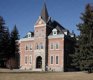
Jefferson County is a county located in the state of Montana. Based on the 2010 census, the population was 11,406. Its county seat is
Boulder. The county was created in 1865 and named for President Thomas Jefferson.
Jefferson County is part of the Helena, MT Micropolitan Statistical Area.
Etymology - Origin of Jefferson County Name
Thomas Jefferson, the third President of the United States
Demographics:
County QuickFacts: CensusBureau Quick Facts
Jefferson County History
Jefferson County was created 2 February 1865 as an original county. County seat: Boulder
Geography: Land and Water
As reported by the Census Bureau, the county has a total area of 1,659 miles (2,670 km). Of this total, 1,657
miles (2,667 km) of it is land, and 2 square miles (5.2 km2) of it (0.13%) is water.
Neighboring Counties
Bordering counties are as follows:
- Lewis and Clark County, Montana - north
- Broadwater County, Montana - east
- Gallatin County, Montana - southeast
- Madison County, Montana - south
- Silver Bow County, Montana - west
- Deer Lodge County, Montana - west
- Powell County, Montana - northwest
Education
Compare More Colleges and Universities

County Resources

Click Image to Enlarge

Search
© Copyright 2004-2024, eRD (eReferenceDesk.com) owned and operated by Joseph L Ferguson. All rights reserved.