


Montana Counties

Click Image to Enlarge
Montana Counties
There are fifty-six counties in Montana. Montana has two consolidated city-counties- Anaconda with Deer Lodge County and Butte with Silver Bow County. The portion of Yellowstone National Park that lies within Montana was not part of any county until 1997, when part of it was nominally added to Gallatin County, and the rest of it to Park County.Rosebud County, Montana
Rosebud County Education, Geography, and History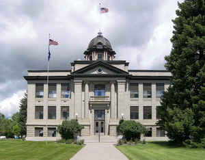
Rosebud County is a county located in the state of Montana. Rosebud County was established 11 February 1901, and has Montana vehicle license plate prefix 29. Based on the 2010 census, the population was 9,233. Its county seat is Forsyth
Etymology - Origin of Rosebud County Name
The Rosebud River, which was named for the many wild roses along its banks
Demographics:
County QuickFacts: CensusBureau Quick Facts
Rosebud County History
Rosebud County was created 11 February 1901 from Custer County. County seat: Forsyth
Geography: Land and Water
As reported by the Census Bureau, the county has a total area of 5,027 square miles (13,020 km2), of which,
5,012 square miles (12,982 km2) of it is land and 15 square miles (38 km2) of it (0.29%) is water.
Neighboring Counties
Bordering counties are as follows:
- Garfield County, Montana - north
- Custer County, Montana - east
- Powder River County, Montana - southeast
- Big Horn County, Montana - south
- Treasure County, Montana - west
- Yellowstone County, Montana - western touch
- Musselshell County, Montana - west
- Petroleum County, Montana - northwest
Education
Compare More Colleges and Universities

County Resources

Click Image to Enlarge

Search
© Copyright 2004-2024, eRD (eReferenceDesk.com) owned and operated by Joseph L Ferguson. All rights reserved.