


Click Image to Enlarge
New York Counties
There are sixty-two counties in the State of New York. The first twelve counties in New York were created immediately after the British annexation of the Dutch colony of New Amsterdam, although two of these counties have since been abolished. The most recent county formation in New York was in 1912, when Bronx County was created from the portions of New York City that had been annexed from Westchester County.Genesee County, New York
Genesee County Education, Geography, and History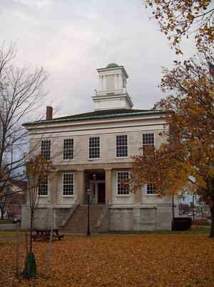
Genesee County is a county located in the state of New York. Based on the 2010 census, the population was 60,079. Its county seat is
Batavia. Its name is from the Seneca Indian word Gen-nis'-hee-yo, meaning "the Beautiful Valley". The county was created in 1802 and later
organized in 1803.
Genesee County comprises the Batavia, NY Micropolitan Statistical Area, which is also included in the Rochester-Batavia-Seneca Falls, NY
Combined Statistical Area. It is located in Western New York.
Etymology - Origin of Genesee County Name
From a Seneca Indian word meaning "good valley"
Demographics:
County QuickFacts: CensusBureau Quick Facts
Genesee County History
Genesee County, was taken from Ontario in 1802, and has since been much reduced by the formation of several counties from it; centrally distant from New York 321, from Albany 258 miles. This county pertains to the great plain of the west, and forms with Wyoming the highest portion of it. Upon the west, the streams run to Lake Erie, and on the east to the Genesee river: as in limestone countries generally, the streams are subject to much fluctuation. The soil is generally highly fertile, and produces as fine crops of wheat as any part of the state. By the recent erection of Wyoming county from the southern portion, this county is reduced to twelve towns. (Historical Collections of the State of New York, Past and Present, John Barber, Clark Albien & Co., 1851)
Genesee County was formed from Ontario County on March 30, 1802 and comprised all of Western New York. The present Genesee County is divided into thirteen towns with six incorporated villages and one city. A part of the Tonawanda Indian Reservation is also included and is located in the northwest corner of the county. With the exception of the City of Batavia, the county seat, is quite rural in nature.
Geography: Land and Water
As reported by the Census Bureau, the county has a total area of 495 square miles (1,283 km2), of which, 494
square miles (1,280 km2) of it is land and 1 square miles (3 km2) of it (0.25%) is water.
Genesee County is east of the city of Buffalo and southwest of the city of Rochester in the western portion of New
York State.
Neighboring Counties
Bordering counties are as follows:
- Orleans County, New York - north
- Monroe County, New York - east
- Livingston County, New York - southeast
- Wyoming County, New York - south
- Erie County, New York - west
- Niagara County, New York - northwest
Education
The county has 8 public school districts
Several private schools at the primary and secondary levels are also maintained:
- St. Joseph Elementary School, Batavia, New York
- Notre Dame High School, Batavia, New York
- St. Paul Lutheran School, Batavia, New York
- Mary's Grace School, Batavia, New York
- Genesee Christian Academy, Batavia, New York
- Holy Family School, LeRoy, New York (closed at the end of the 2011-2012 academic year.)
Genesee Community College has its main campus in the Town of Batavia.


Click Image to Enlarge
