


Click Image to Enlarge
Michigan Counties
The boundaries of the eighty-three counties in Michigan have not changed substantially since 1897. Wayne County was the sixth county in the Northwest Territory, formed 15 August 1796 and organized in 1815. Wayne County was created 21 November 1815 as an original county of Michigan.Isabella County, Michigan
Isabella County Education, Geography, and History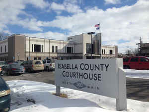
Isabella County is a county located in the state of Michigan. Based on the 2010 census, the population was 70,311. Its county seat is Mt.
Pleasant. The area was known as Ojibiway Besse, meaning "the place of the Chippewa". It was set off as a county in 1831, and county government
organized in 1859. It was named after Queen Isabella I of Castile, based on a suggestion by Henry Schoolcraft.
Isabella County comprises the Mount Pleasant, MI Micropolitan Statistical Area
Etymology - Origin of Isabella County Name
Isabella County was named for Queen Isabella of Spain, who patronized Christopher Columbus.
Demographics:
County QuickFacts: CensusBureau Quick Facts
Isabella County History
Isabella County was named for Queen Isabella of Spain, who patronized Christopher Columbus.
Set Off: 1831
Organized: 1859
Geography: Land and Water
As reported by the Census Bureau, the county has a total area of 578 square miles (1,500 km2), of which 573 square miles (1,480 km2) is land and 5.0 square miles (13 km2) (0.9%) is water.
Neighboring Counties
Bordering counties are as follows:
- Clare County (north)
- Midland County (east)
- Gratiot County (southeast)
- Montcalm County (southwest)
- Mecosta County (west)
Education


Click Image to Enlarge
