

Click Image to Enlarge
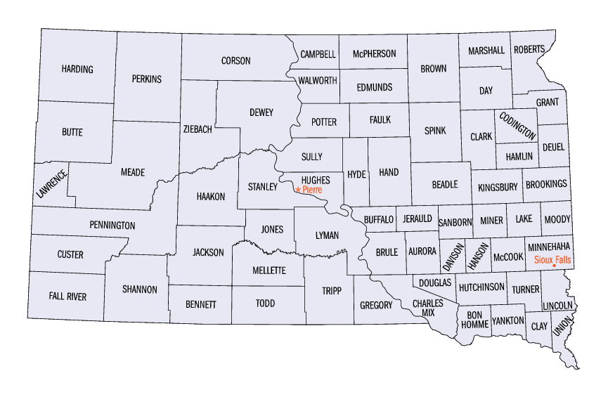
South Dakota Counties
There are sixty-six counties in the state of South Dakota. Todd County and Oglala Lakota County are the only counties in South Dakota which do not have their own county seatsJerauld County, South Dakota
Jerauld County Education, Geography, and History
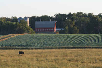
Jerauld County is a county located in the state of South Dakota. Based on the 2010 census, the population was 2,071. Its county seat is Wessington Springs
Etymology - Origin of Jerauld County Name
Jerauld is named for territorial legislator H.A. Jerauld.
Demographics:
County QuickFacts: CensusBureau Quick Facts
Jerauld County History
The legislature of 1883 divided Aurora County and named one of the two new areas Jerauld County. The county was named in honor of H. A. Jerauld, a territorial legislator in 1883 when the county was created and organized. Governor Ordway appointed county Commissioners and Wessington Springs was named the county seat.
Geography: Land and Water
As reported by the Census Bureau, the county has a total area of 533 square miles (1,380 km2), of which, 530
square miles (1,372 km2) of it is land and 3 square miles (7 km2) of it (0.51%) is water.
Neighboring Counties
Bordering counties are as follows:
- Beadle County, South Dakota - northeast
- Sanborn County, South Dakota - east
- Aurora County, South Dakota - south
- Brule County, South Dakota - southwest
- Buffalo County, South Dakota - west
- Hand County, South Dakota - northwest
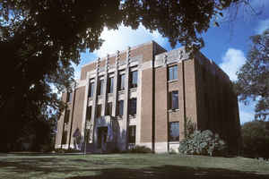
Education


Click Image to Enlarge
