


Click Image to Enlarge
Tennessee Counties
There are ninety-five counties in the State of Tennessee. The oldest county is Washington County, founded in 1777. The most recently formed county is Chester County (1879)Bledsoe County, Tennessee
Bledsoe County Education, Geography, and History
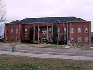
Bledsoe County is a county located in the state of Tennessee. Based on the 2010 census, the population was 12,876. Its county seat is Pikeville.
Etymology - Origin of Bledsoe County Name
Named in honor of Anthony Bledsoe (1733-1788), colonial and Revolutionary War soldier, surveyor, Tennessee militia colonel and early settler of Sumner County who was killed by Indians.
Demographics:
County QuickFacts: CensusBureau Quick Facts
History of Bledsoe County
Created 1807 from Roane County and Indian lands; named in honor of Anthony Bledsoe (1733-1788), colonial and Revolutionary War soldier, surveyor, Tennessee militia colonel and early settler of Sumner County who was killed by Indians at Bledsoe's Station.
Like many East Tennessee counties, Bledsoe County opposed secession on the eve of the Civil War. In Tennessee's Ordinance of Secession on June 8, 1861, the county's residents voted against secession by a margin of 500 to 197. General James G. Spears, a resident of Bledsoe, served as a vice president at the pro-Union East Tennessee Convention in May and June 1861, and fought for the Union Army in the war.
Bledsoe County was formed in 1807 from parts of Roane County and Indian lands. (Acts of Tennessee 1807, Chapter 9).
Tennessee Encyclopedia of History and Culture
The oldest and northernmost county in the Sequatchie Valley is Bledsoe County; it became Tennessee's thirty-third
county by an act of the Tennessee legislature in November 1807. It was named for Anthony Bledsoe, a Revolutionary
War patriot who migrated to Tennessee from Virginia in the late 1700s.
Nature divided Bledsoe County's 404 square miles into three distinct regions: Sequatchie Valley, Cumberland Plateau,
and Walden Ridge. In 1795 John McClellen and Charles McClung explored the area of the Sequatchie Valley that would
become Bledsoe County. They praised the rich soil as equivalent to any land in the world, but settlers generally
avoided the area until after the Third Tellico Treaty of 1805. Several early settlers accepted Sequatchie land as
payment for service in the Revolutionary War. Find more from the Tennessee Encyclopedia of History and Culture:
BLEDSOE COUNTY
Geography: Land and Water
As reported by the Census Bureau, the county has a total area of 407 square miles (1,053 km2), of which, 406 square miles (1,052 km2) of it is land and 0 square miles (1 km2) of it (0.10%) is water.
Neighboring Counties
Bordering counties are as follows:
- Cumberland County (north)
- Rhea County (east)
- Hamilton County (southeast)
- Sequatchie County (southwest)
- Van Buren County (west)
Education


Click Image to Enlarge
